開啟輔助訪問
 找回密碼
 立即加入

07E.Frank 風場掃描達標直接命名 苦熬數日終成颶風

查看數: 6399 評論數: 7 收藏 1切换到帖子模式
    組圖打開中,請稍候......
發佈時間: 2016-7-21 02:10

正文摘要:

  一級颶風   編號:07 E 名稱:Frank 以上資料來自:NHC、颱風論壇整理製作

t02436 發表於 2016-7-26 23:54
強度長久在55節上下徘徊,終於在第20報站上一級颶風!
Frank成為東太七月份第5個颶風,創下有史以來7月最多颶風紀錄!!
000
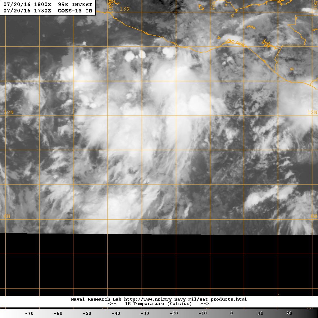
WTPZ42 KNHC 261458
TCDEP2

HURRICANE FRANK DISCUSSION NUMBER  20
NWS NATIONAL HURRICANE CENTER MIAMI FL       EP072016
800 AM PDT TUE JUL 26 2016

After struggling during the last few days, Frank has become much
better organized overnight, with deeper and more symmetric
convection.  A SSM/IS pass from a couple of hours ago also indicated
the development of a vertically aligned eye feature. The 12z
satellite intensity estimates were 65 kt and 55 kt from TAFB and
SAB.  Since that time, the appearance of the cyclone has improved in
satellite imagery with the formation of a visible eye, so the
initial wind speed is set to 65 kt.

Frank has less than 24 hours before it moves over SSTs cooler than
26C.  Although it is not explicitly forecast, the hurricane could
become strengthen a little more sometime before weakening begins on
Wednesday due to much cooler waters.  Frank should lose all of its
convection and transition to a post-tropical cyclone in about 2 days
when it encounters cold waters of 22-23C. The NHC forecast is raised
from the previous one, primarily due to the initial conditions, then
is blended with the previous forecast and the intensity consensus
IVCN.

The hurricane has finally started to move, estimated at 290/8 kt.
This general track is predicted for the next couple of days while
Frank is steered by a restrengthened subtropical ridge.  After 48
hours, Frank is expected to turn more westward when it becomes a
shallow remnant low.  Little change is made to the previous NHC
forecast, except for a small westward shift at long range near the
dynamical model consensus.

Frank is the 5th hurricane to form in the eastern Pacific during
July.  This is the most on record for July, eclipsing the previous
record of 4 previously set in 5 other years.  Reliable records in
the eastern Pacific for hurricanes begin in 1971.


FORECAST POSITIONS AND MAX WINDS

INIT  26/1500Z 21.2N 116.6W   65 KT  75 MPH
12H  27/0000Z 21.6N 118.0W   65 KT  75 MPH
24H  27/1200Z 22.4N 119.8W   60 KT  70 MPH
36H  28/0000Z 23.1N 121.6W   50 KT  60 MPH
48H  28/1200Z 23.8N 123.2W   40 KT  45 MPH...POST-TROPICAL
72H  29/1200Z 24.4N 125.4W   30 KT  35 MPH...POST-TROP/REMNT LOW
96H  30/1200Z...DISSIPATED

$$
Forecaster Blake

150428W_sm.gif

底層眼建立中...
20160726.1232.f16.91pct91h91v.07E.FRANK.60kts.992mb.21.2N.116.2W.055pc.jpg

20160726.1530.goes-15.ircolor.07E.FRANK.65kts.989mb.21.1N.116.2W.100pc.jpg

20160726.1530.goes-15.vis.1km.07E.FRANK.65kts.989mb.21.1N.116.2W.100pc.jpg
蜜露 發表於 2016-7-22 15:06
本帖最後由 蜜露 於 2016-7-22 15:12 編輯

GFS預報, 未來東太平洋還是持續熱鬧

Frank和08E 都很看好強度.

7月一次就命名了7個 , 有5個颶風強度. 1個Cat.4
放到西太. 7月內命名7個, 5中颱也不是真的很容易.

gfs_pres_wind_epac_15.png


gfs_pres_wind_epac_24.png

今年東太平洋七月,有點像1973年西太平洋強厄轉拉的表現.

6月前無颱. 誰知道七月一次就命名7個颱風.


點評

西太七月也很少有7個那麼多颱風呢  發表於 2016-7-22 21:29
劉瑞益@FB 發表於 2016-7-22 05:37
提示: 作者被禁止或刪除 內容自動屏蔽
劉瑞益@FB 發表於 2016-7-22 03:01
提示: 作者被禁止或刪除 內容自動屏蔽

本平台僅供學術討論之用,預報應以氣象局為準

威普網站虛擬主機贊助公司

臺灣第一個天氣類型社群平台 即時天氣資訊、精準颱風動態

線上客服
FB傳送訊息
廣告行銷
精準行銷 物超所值
官方粉專
發佈 快速回復 返回頂部 返回列表