Hurricane Katia Discussion Number 14
NWS National Hurricane Center Miami FL AL132017
Issued by the NWS Weather Prediction Center College Park MD
1000 PM CDT Fri Sep 08 2017
Satellite imagery shows Katia has become much less organized over
the past several hours with a shrinking area of warming cloud tops.
The weakening of Katia could be due to drier air wrapping around the
cyclone's western side, which was noted in satellite-based layered
precipitable water products. Reconnaissance aircraft has reported
a significant northeast tilt of the circulation with height, a
sign of southwesterly vertical wind shear. The initial wind speed
has been decreased to 65 knots based on a blend of subjective Dvorak
estimates from TAFB and SAB and is close to SFMR wind observations
from Air Force reconnasissance aircraft currently sampling the
storm.
Katia is currently making landfall north of Tecolutla, Mexico.
Rapid weakening is expected from here on out, and Katia is forecast
to dissipate over the rugged terrain of the Sierra Madre mountains
on Saturday. Katia has made a turn to the west-southwest at 6 kt.
The official track forecast remains consistent with the previous
advisory. The weakening hurricane is expected to continue moving
west-southwest until dissipation.
Very heavy rains associated with Katia are expected to affect
eastern Mexico. These rains will likely cause life-threatening
flash floods and mudslides.
Hurricane Katia Discussion Number 8
NWS National Hurricane Center Miami FL AL132017
1000 AM CDT Thu Sep 07 2017
An Air Force Hurricane Hunter aircraft found that the central
pressure had dropped to 982 mb and maximum SFMR-observed surface
winds were close to 70 kt. Therefore 70 kt will be retained for the
current intensity. Vertical wind shear should remain low over the
southwest Gulf of Mexico for the next couple of days and the global
models show well-developed upper-level outflow over the tropical
cyclone. Thus, further strengthening is likely up to landfall. The
official intensity forecast is somewhat higher than the model
consensus and Katia could approach major hurricane status before it
crosses that coast.
Fixes from the Hurricane Hunter aircraft show essentially no motion
over the last several hours. A mid-level ridge is likely to build
to the north of Katia during the next day or so. This should
induce a west-southwestward motion beginning tonight or early
Friday, leading to landfall by late Friday or early Saturday. The
official track forecast is similar to the previous one and close to
the model consensus.
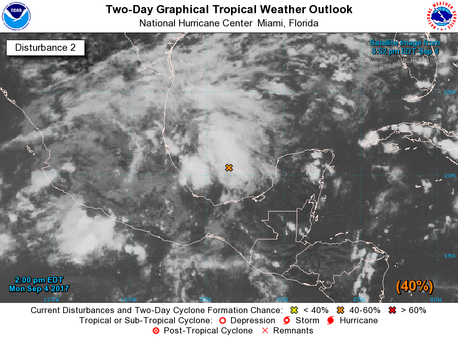
Tropical Depression Thirteen Discussion Number 1
NWS National Hurricane Center Miami FL AL132017
400 PM CDT Tue Sep 05 2017
The small area of low pressure in the southwestern Gulf of Mexico
has become better organized during the past several hours, with deep
convection forming over the center. ASCAT data showed a
well-defined circulation with winds of about 30 kt. Thus, a
tropical depression has formed, with maximum winds estimated at 30
kt. While the cyclone is currently experiencing westerly shear,
most of the guidance indicate the shear should gradually lessen.
Combined with the very warm Gulf of Mexico waters, this should
promote strengthening. The shear could increase again in a few
days, so the intensity forecast will be leveled off at that time.
The NHC wind speed prediction is near or slightly higher than the
model consensus, but could be conservative.
The depression has been drifting eastward during the day. For the
next couple of days, the cyclone isn't expected to move much as it
is caught in an area of light winds in the mid-levels. By Friday, a
ridge should build over Texas and the northwestern Gulf of Mexico,
which is likely to steer the system southwestward at a faster pace.
The NHC forecast is on the southern side of the guidance, since
models in that area tend to have a northward bias, between the
corrected consensus and the ECMWF.