Tropical Depression Miriam Discussion Number 30
NWS Central Pacific Hurricane Center Honolulu HI EP152018
500 AM HST Sun Sep 02 2018
The center of Miriam has been completely devoid of deep
convection for almost 24 hours as nearly 50 kt of southwesterly
vertical wind shear has taken its toll on the system. The latest
subjective Dvorak current intensity estimates range from
unclassifiable by SAB to T1.5/25 kt by JTWC, and T2.0/30 kt by
PHFO. The most recent UW-CIMSS ADT yielded an estimated intensity
of 25 kt. Based on a blend of these estimates, the initial
intensity is lowered to 30 kt for this advisory.
The initial motion is 320 deg / 12 kt. A broad mid- to upper-level
trough to the northwest of Miriam will maintain the very strong
vertical wind shear during the next couple of days. Since Miriam
has transitioned to a shallow low-level cloud swirl, it is now
being steered more toward the northwest under the influence of
a deep subtropical ridge located to the northeast. This
northwestward motion will likely persist through Monday. The latest
forecast track is close to the previous advisory, and remains near
the middle of the guidance envelope and close to the consensus model
guidance, TVCE and HCCA. Under the hostile vertical wind shear and
decreasing SSTs, Miriam will continue weakening. The latest
intensity forecast weakens Miriam at a slightly slower rate than
almost all of the guidance, and is closest to the GFS output. Note
that Miriam is forecast to become a remnant low later today,
followed by dissipation late Monday.
Hurricane Miriam Discussion Number 16
NWS Central Pacific Hurricane Center Honolulu HI EP152018
500 PM HST Wed Aug 29 2018
While cloud tops associated with Miriam were on general warming
trend since the previous advisory, a new burst of convection has
recently developed over the center, while organized convective
bands continue to wrap in to the center from the southeast.
Subjective Dvorak intensity estimates of 4.0/65 kt from SAB/HFO are
supported by UW-CIMSS ADT, and that will be the initial intensity
estimate for this advisory.
The initial motion estimate is a somewhat uncertain 280/7 kt, as
the low-level center has been difficult to identify. Miriam has
moved into an area of light steering flow between a mid-level ridge
centered over the southwestern U.S., and a mid- to upper-level low
centered northeast of Hawaii. The gradient between the low and the
ridge will result in a southerly steering flow that will take
Miriam toward the north the next couple of days. A turn toward the
northwest is expected to begin tonight, followed by a turn toward
the north on Thursday, with the dynamical models in good agreement
on this evolution. Increasing model spread persists after day 3,
with ECMWF taking a deeper cyclone much faster and farther
northward than the most of the guidance, with this solution taking
consensus members well to the right of the updated forecast track.
The official forecast continues to lean toward the GFS and its
ensemble solution, with Miriam turning west-northwestward toward the
end of the forecast period as a weak and shallow system primarily
steered by the low-level trade wind flow.
The forecast anticipates that Miriam will be in an environment
conducive for modest strengthening for the next 24 hours or so,
with shear near 10 kt and SSTs near 28C. The forecast track toward
the north will take Miriam over cooler waters thereafter, with SSTs
below 26C by 72 h. Southwesterly shear is expected to increase to
near 30 kt in 48 h and to 40 kt in 72 h, and Miriam is expected to
degenerate into a remnant low by day 4. The official intensity
forecast follows trends presented by the multi-model consensus and
SHIPS.
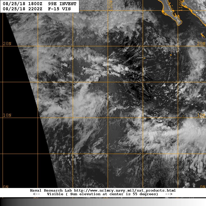
Tropical Storm Miriam Discussion Number 2
NWS National Hurricane Center Miami FL EP152018
800 AM PDT Sun Aug 26 2018
Deep convection associated with the tropical cyclone has continued
to become better organized this morning, with a significant increase
in banding noted in conventional satellite imagery. An earlier
AMSR2 microwave overpass also revealed the increase in banding, but
the low-level center was located near the northeastern portion of
the main convective mass. A Dvorak satellite intensity estimate of
T2.5 (35 k) was the basis for the 1200 UTC synoptic intensity, but
with the continued increase in organization, the initial wind speed
for this advisory has been set to 40 kt.
Miriam is moving westward or 275/11 kt. The tropical storm should
remain on a general westward heading during the next few days while
it remains to the south of a deep-layer ridge. The orientation of
the ridge may shift more west-southwestward within the next day or
so, which could steer the tropical storm on a track slightly south
of due west. The bulk of the dynamical model guidance has shifted
southward, so the NHC forecast track has been adjusted accordingly
through the first 3 days. After that time, a weakness in the
subtropical ridge between 140W-145W longitude is expected to cause
Miriam to turn northwestward, then north-northwestward by the end
of the forecast period. The latter portion of the official forecast
is similar to the previous advisory and is in best agreement with
the HFIP corrected consensus model.
The environment ahead of Miriam is expected to remain favorable for
strengthening. The tropical storm will be traversing SSTs of 27-28C
and within low vertical wind shear conditions. The NHC intensity
forecast calls for steady intensification during the next few days
and is at the upper-end of the intensity guidance. Although the
various rapid intensification prediction techniques are not
particularly bullish, perhaps due to the low initial intensity of
the cyclone, it would not be surprising if the tropical storm went
through a period of rapid intensification within the next couple of
days. The NHC intensity forecast is closest to the more aggressive
HWRF and HMON dynamical models.