Remnants Of Tara Discussion Number 11
NWS National Hurricane Center Miami FL EP222018
1000 PM CDT Tue Oct 16 2018
Data from several recent microwave overpasses, last-light visible
imagery, and surface observations from Mexico indicate that Tara no
longer has a well-defined surface center. The mid-level center of
the former tropical cyclone appeared to move inland earlier this
evening, though it is unclear whether the surface center made it
that far. Regardless, the high terrain of Mexico has caused the
surface circulation to open into a trough of low pressure and
dissipate. This is the last NHC advisory on Tara. Although the
remnant trough will likely produce intermittent convection near the
coast of Mexico tonight, continued close proximity to land should
prevent it from reorganizing into a tropical cyclone, and all of the
global models indicate that the remnants will gradual weaken over
the next 12 hours or so.
Although Tara is no longer a tropical depression, its remnants
could still cause heavy rainfall along portions of the coast of
southwestern Mexico overnight. Life-threatening flash flooding and
mudslides will be possible in mountainous areas.
Tropical Storm Tara Discussion Number 4
NWS National Hurricane Center Miami FL EP222018
400 AM CDT Mon Oct 15 2018
The satellite presentation of the tropical cyclone has improved
somewhat overnight, with convection continuing to burst over the
western and northwestern portions of the circulation. The center
is slightly more embedded within the southeastern portion of the
cold cloud tops, but easterly shear continues to restrict
convection over the eastern portion of the system. A couple of
ASCAT passes around 0400 UTC were helpful in locating the center of
the cyclone and both indicated peak winds of 25 to 30 kt to the
west of the center. Dvorak classifications at 0600 UTC were
T2.5 (35 kt) from both SAB and TAFB, and given the increase in
organization, the system has been upgraded to a 35-kt tropical
storm. The nineteenth named storm of the 2018 eastern North Pacific
hurricane season.
Recent microwave imagery and the ASCAT data show that Tara has not
moved much, and the initial motion estimate is stationary for
this advisory. Although the tropical storm is located within an
area of weak steering currents and little overall motion is
expected during the next couple of days, the track guidance has
become much more divergent this cycle. The GFS and UKMET models
have trended northward and now bring Tara near the southwestern
coast of Mexico within the next day or so. On the other hand, the
ECMWF takes Tara southeastward and southward away from the coast.
The various consensus aids have trended northward in the
short-term, and the new NHC track forecast has been nudged in that
direction through 36 hours, but it is not as far north as the GFS,
GFS ensemble mean, and UKMET models. After 48 hours, a ridge is
forecast to build westward across central Mexico, which should cause
Tara to turn west-northwestward at a slightly faster forward speed.
Given the spread in the guidance and its recent trends, the track
forecast is of low confidence.
The intensity forecast is also very challenging and of low
confidence this morning. Tara is expected to remain under the
influence of easterly shear during the next day or two. The shear,
however, is not expected to be strong enough to prevent gradual
strengthening. After that time, the intensity forecast depends on
how close to the coast the cyclone moves. If Tara gets too close to
southwestern Mexico, the small cyclone is likely to weaken. If it
stays offshore, however, the shear is forecast to decrease which
should allow for additional strengthening. Since the NHC track
forecast keeps Tara offshore, it calls for gradual strengthening
through 72 hours, but it is not as aggressive as before since most
of the guidance is lower than before. Increasing southwesterly
shear by days 4 and 5 should lead to weakening, and although the NHC
forecast keeps Tara a tropical storm trough the period, most of the
global models weaken and dissipate the system by the end of the
week.
Due to the uncertainties in the track forecast, the government of
Mexico has issued a Tropical Storm Watch for a portion of the coast
of southwest Mexico. Regardless of how close Tara tracks to
southwestern Mexico, heavy rainfall will be the primary threat along
the coast of southwestern Mexico due to the system's slow motion,
and life-threatening flash flooding will be possible in mountainous
areas.
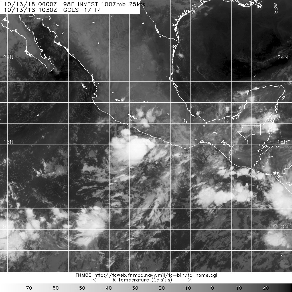
Tropical Depression Twenty-Two-E Discussion Number 1
NWS National Hurricane Center Miami FL EP222018
1000 AM CDT Sun Oct 14 2018
A small low pressure system that the NHC has been tracking for the
past couple of days has finally acquired enough organized convection
to be designated a tropical depression, which is located less than
100 nmi off the southwestern coast of Mexico. Cloud tops near the
center have recently been as cold as -90C, and satellite intensity
estimates are T1.5/25 kt from both TAFB and SAB. The initial
intensity is set at 30 kt based on an earlier OSCAT/ScatSat
scatterometer pass that had a few uncontaminated wind vectors
located just north of a well-defined low-level circulation center,
which is similar to yesterday's ASCAT passes.
The initial motion estimate is 295/05 kt. The small cyclone is
forecast by the global and regional models to move only slowly
westward to southwestward at less than 5 kt for the new few days due
to the system being caught in a break in the subtropical ridge that
extends from central Mexico southwestward into the eastern Pacific.
By days 4 and 5, the ridge is forecast to build westward to the
north of the system, acting to nudge the cyclone westward at a
slightly faster forward speed. The NHC forecast track lies between
the consensus models TVCE and HCCA.
The environment is expected to be somewhat conducive for gradual
strengthening of the cyclone throughout the forecast period. The
statistical-dynamical models SHIPS and LGEM aren't overly enthused
with intensifying the system, but that is mainly due to the high
shear values calculated from the very poleward TABM beta-advection
model, which recurves the cyclone into strong mid-latitude flow on
days 4 and 5. In contrast, the HWRF model keeps the system farther
south and gradually develops the cyclone into a hurricane by 72 h,
and then continues with slight strengthening beyond that time. Given
that the shear is expected to only be around 10 kt from an easterly
to southeasterly direction and water temperatures near 30 deg C
beneath the small cyclone, some gradual strengthening appears to be
plausible with only some slight land interaction being the primary
modulating factor until the system moves farther away from Mexico in
about 72 h.
Based on the small size of the circulation and its projected motion
away from Mexico, tropical storm warnings and watches are not
required at this time. However, only a slight deviation to the right
of the forecast track would bring stronger winds closer to the
coast, which would require the issuance of a tropical storm warning.
Regardless, heavy rainfall will be the primary threat along the
coast of southwestern Mexico due to the system's slow motion, and
flash flooding will be a possibility in mountainous areas.