Hurricane Lorena Tropical Cyclone Update
NWS National Hurricane Center Miami FL EP152019
1035 PM MDT Fri Sep 20 2019
...LORENA MAKES LANDFALL NEAR LA VENTANA MEXICO IN SOUTHEASTERN BAJA
CALIFORNIA SUR...
Satellite images and surface observations indicate that Hurricane
Lorena made landfall near La Ventana, Mexico, in the state of Baja
California Sur around 0400 UTC (10 pm MDT) with maximum winds of 80
mph (130 km/h).
SUMMARY OF 1035 PM MDT...0435 UTC...INFORMATION
----------------------------------------------
LOCATION...24.0N 110.0W
ABOUT 25 MI...40 KM SE OF LA PAZ MEXICO
ABOUT 75 MI...125 KM N OF CABO SAN LUCAS MEXICO
MAXIMUM SUSTAINED WINDS...80 MPH...130 KM/H
PRESENT MOVEMENT...NNW OR 330 DEGREES AT 8 MPH...13 KM/H
MINIMUM CENTRAL PRESSURE...986 MB...29.12 INCHES
Tropical Storm Lorena Discussion Number 11
NWS National Hurricane Center Miami FL EP152019
900 PM MDT Thu Sep 19 2019
Geostationary satellite data and a recently received SSM/IS overpass
suggest that Lorena has gotten a little better organized since the
last advisory, with a central dense overcast forming near or over a
small mid-level eye seen in the microwave data. However, the
various objective and subjective satellite intensity estimates
indicate that the cyclone has not yet regained hurricane strength.
The initial intensity is thus held at 60 kt.
The initial motion is a somewhat uncertain 305/9. Lorena is
located between a mid- to upper-level ridge over northern Mexico
and Tropical Storm Mario to the south-southwest, while a large
mid- to upper-level trough is northwest of Lorena over the western
United States and the northeastern Pacific. The potential for
Lorena to interact with Mario is producing a large spread in the
guidance and a low confidence track forecast. Much of the track
guidance, including the GFS, HWRF, HMON, and the GFS ensemble mean
show Lorena turning so sharply westward around the north side of
Mario that it passes south of the Baja California peninsula. At
the other extreme is the older version of the GFS, which forecasts
Lorena to moved northwestward up the Gulf of California due mainly
to the influence of the Mexican ridge and the U. S. trough. The
ECMWF model forecasts a track generally over the Baja California
peninsula, while the UKMET shows a track into the southern Gulf of
California followed by a westward turn across southern Baja. The
new forecast track is similar to the previous track in forecasting
Lorena to pass near the southern end of the Baja California
peninsula, then move generally northwestward near the west coast of
the peninsula. The new track lies well to the right of the various
consensus models, but it lies to the left of the ECWMF and the old
GFS model. Adjustments to the forecast track may occur once the
amount of influence Mario will have on Lorena become more apparent.
The intensity forecast is also very uncertain due to the track
forecast uncertainties. The new intensity forecast is based on the
track forecast that keeps Lorena over the water near the west coast
of the the Baja California peninsula, with the cyclone re-gaining
hurricane status before it moves over colder sea surface
temperatures and eventually dissipates over the cold water.
However there are three alternate scenarios. First, the GFS
suggests the possibility that Mario will absorb Lorena and cause it
to completely dissipate. Second, the older version of the GFS, with
its forecast over the warm waters of the Gulf of California, would
could allow Lorena to be stronger than currently forecast. Finally,
the ECMWF's track over the Baja California Peninsula would also
cause Lorena to weaken faster than currently forecast.
The forecast track requires new warnings and watches for portions
of Baja California del Sur. Additional warnings and watches may be
required for this area on Friday.
Key Messages:
1. Heavy rainfall will continue over portions of the Mexican states
of Michoacan, Colima, and Jalisco during the next day or so. This
rainfall may produce life-threatening flash flooding and mudslides.
2. Lorena is forecast to re-strengthen into a hurricane and bring
hurricane-force winds and heavy rainfall to a portion of the
southern Baja California peninsula beginning on Friday. A Hurricane
Warning has been issued, and preparations to protect life and
property should be rushed to completion.
Hurricane Lorena Discussion Number 7
NWS National Hurricane Center Miami FL EP152019
1000 PM CDT Wed Sep 18 2019
Earlier microwave imagery showed that Lorena's structure has
continued to improve, with a well-defined low-level ring noted in
the 37-GHz channel. The convective signature in infrared satellite
imagery is somewhat ragged, although it appears that a warm spot
may be developing near the estimated center. Objective SATCON and
ADT intensity estimates are 66 kt and 75 kt, respectively, which is
higher than the 55-kt subjective estimates from TAFB and SAB.
However, given the improved microwave pattern, the initial
intensity hedges toward the objective numbers, making Lorena a
65-kt hurricane.
Both the track and intensity forecast hinge on whether Lorena
survives its fly-by of the coast of Mexico. If the center stays
just offshore, which several of the models show, then a
strengthening ridge over northern Mexico should steer the cyclone
northwestward and west-northwestward away from west-central Mexico
after 24 hours, heading in the general direction of the southern
tip of the Baja California peninsula. The ECMWF is the only model
at the moment that shows Lorena's center moving inland, or
interacting with the high terrain enough, to dissipate within the
next 12-24 hours.
All that being said, the NHC track forecast assumes that Lorena
will survive the next 24 hours, and it has been nudged southwestward
beyond 36 hours, close to the multi-model consensus aids and the
HCCA model. Based on this track, environmental conditions appear
favorable for further strengthening during the next couple of days.
Weakening should commence by day 3 once the system encounters areas
of higher shear and significantly lower oceanic heat content values.
As already insinuated above, due the potential for land interaction
within the next 12-24 hours, there is greater than usual uncertainty
in both the track and intensity forecast for Lorena through day 5.
Key Messages:
1. Lorena will be dangerously close to the coast of southwestern
Mexico tonight and on Thursday. A hurricane warning is in effect,
and preparations to protect life in property should have been
completed.
2. Lorena is forecast to cause heavy rain over portions of the
Mexican states of Michoacan, Colima, and Jalisco during the next few
days. This rainfall may produce life-threatening flash flooding and
mudslides.
3. Lorena could threaten the southern portion of the Baja
California peninsula as a hurricane this weekend, but the forecast
is more uncertain due to the potential for land interaction tonight
and Thursday. Residents should ensure that their hurricane plan is
in place as watches may be required on Thursday.
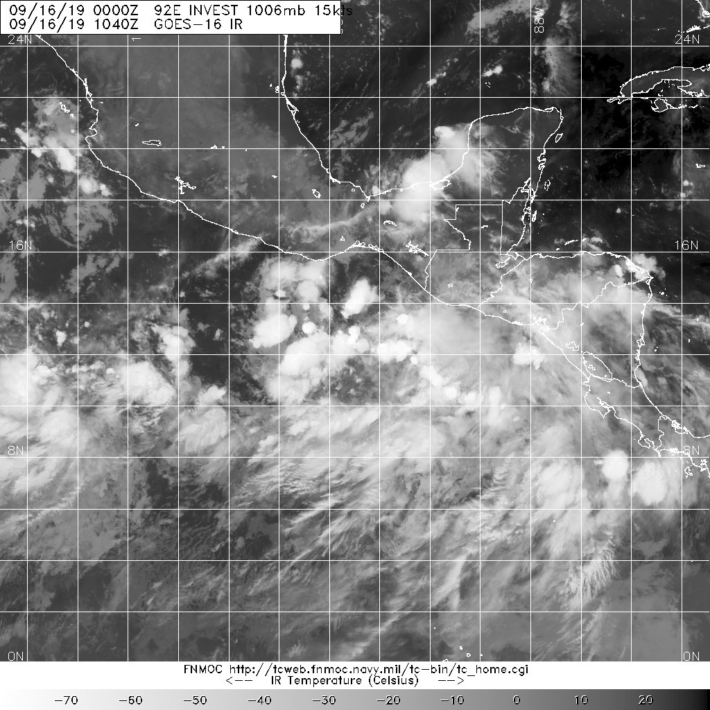
Tropical Storm Lorena Discussion Number 1
NWS National Hurricane Center Miami FL EP152019
1000 AM CDT Tue Sep 17 2019
First-light 1-minute visible imagery from GOES-W revealed that the
disturbance just south of Mexico has developed a well-defined
surface center. The system has also developed an extensive
convective band stretching from the southwest to the northeast
quadrant of the cyclone. A pair of ASCAT passes overnight showed
winds were already at tropical-storm strength, so the system has
been designated as Tropical Storm Lorena. The initial intensity is
set at 35 kt, though the ASCAT data showed winds could actually
already be higher than that, so that may be conservative.
Lorena is moving quickly toward the northwest, or 305/13 kt. A
mid-level ridge centered over the Gulf of Mexico should keep it
moving generally northwestward for the next few days, at a slightly
slower speed. Most of the dynamical models show this general
scenario, however some of the typically reliable track models,
including the GFS, seem to have trouble resolving the small
cyclone, and show the cyclone moving more west-northwestward. This
small difference is important and could be the difference between
Lorena directly impacting Mexico or passing just to the southwest.
The NHC forecast is on the far right side of the guidance envelope,
favoring the ECMWF and UKMET solutions, which seem to have a more
realistic current depiction of the tropical cyclone. The NHC
forecast is on the far right side of the standard guidance
envelope, but is near the middle of the ECMWF ensemble. This brings
Lorena very near the Mexico coast in about 2 days and it is possible
that the storm could make landfall. At longer ranges the GFS depicts
the beginning of a binary interaction between Lorena and the
newly-formed depression to the west, however at the moment this does
not seem particularly likely, and the NHC forecast favors the ECMWF
through day 5 which shows no such interaction.
Moderate easterly shear appears to be affecting the tropical storm
for now, and this will likely be the primary moderating factor for
Lorena's intensity. SSTs are very warm and there is ample moisture,
but only slow intensification is likely as long as the shear
persists. The NHC forecast therefore shows slow strengthening for
the next couple of days. Beyond that time, if the cyclone moves
inland, it should quickly weaken or possibly dissipate, but if it
stays farther offshore it may have an opportunity to strengthen
further. The NHC forecast holds the cyclone nearly steady-state, but
it is well below the consensus at day 4 and 5, since most of the
intensity models are based on tracks that stay well offshore of
Mexico.