開啟輔助訪問
 找回密碼
 立即加入

15L.Omar 有紀錄以來最早前15個命名風暴

查看數: 7354 評論數: 6 收藏 0切换到帖子模式
    組圖打開中,請稍候......
發佈時間: 2020-8-31 07:57

正文摘要:

本帖最後由 霧峰追風者 於 2020-9-2 08:12 編輯 基本資料   編號    :15 L 擾動編號日期:2020 年 08 月 31 日 07 時 撤編日期  :2020 年 08 月 00 日 00 時 90L.INVEST.25kts-1010mb-36N-73 ...

老農民版夜神月 發表於 2020-9-3 05:06
NHC21Z降格TD,並預測24H後將減弱為殘餘低氣壓
243
WTNT45 KNHC 022038
TCDAT5

Tropical Depression Omar Discussion Number   9
NWS National Hurricane Center Miami FL       AL152020
500 PM AST Wed Sep 02 2020

Conventional satellite imagery shows that Omar's cloud pattern is
rapidly deteriorating, and the surface circulation center has
become quite ill-defined.  This morning's METOP-A/B scatterometer
passes revealed only a few 33 kt winds well to the southeast of
the center and it's reasonable to determine that those winds are no
longer present.  Therefore, the initial intensity is lowered to 30
kt for this advisory and is further supported by the subjective
satellite intensity T-numbers from TAFB and SAB.  The latest global
model runs agree with the depression degenerating to a remnant
low in 24 hours, or less, and the NHC intensity forecast follows
suit.  Dissipation of the remnant low should occur no later than
Saturday evening.

Omar's initial motion is estimated to be due east, or 090/13 kt,
within the mid-latitude westerlies north of a subtropical ridge
stretching east to west over the central Atlantic.  Omar should
continue moving eastward through Friday, although a couple of the
global models are showing a track a bit more east-southeastward.  
Around the 60 hour period, the remnant low is expected to reduce in
forward speed, and turn toward the east-northeast in response to an
approaching baroclinic system entering the northwest Atlantic.  The
NHC forecast is nudged just a little to the right of the previous
one, and lies close to the HCCA and TVCA consensus models.


FORECAST POSITIONS AND MAX WINDS

INIT  02/2100Z 36.1N  65.7W   30 KT  35 MPH
12H  03/0600Z 36.1N  63.6W   30 KT  35 MPH
24H  03/1800Z 36.0N  61.0W   25 KT  30 MPH...POST-TROP/REMNT LOW
36H  04/0600Z 35.7N  59.0W   25 KT  30 MPH...POST-TROP/REMNT LOW
48H  04/1800Z 35.7N  57.8W   25 KT  30 MPH...POST-TROP/REMNT LOW
60H  05/0600Z 35.9N  56.9W   25 KT  30 MPH...POST-TROP/REMNT LOW
72H  05/1800Z...DISSIPATED

$$
Forecaster Roberts
204007_5day_cone_no_line_and_wind.png 20200902.2000.goes16.x.vis1km_high.15LOMAR.30kts-1005mb-361N-664W.100pc.jpg
20200902.1719.gcomw1.x.colorpct_89h_89v.15LOMAR.30kts-1005mb-361N-664W.084pc.jpg
開梅 發表於 2020-9-2 09:09
請問『有紀錄以來最早前15個命名風暴』意思是大西洋有紀錄以來,最早形成的第15號颶風嗎?

點評

今年度 第15個命名風暴...沒到颶風等級  發表於 2020-9-2 09:16
老農民版夜神月 發表於 2020-9-1 07:31
NHC21Z升格TD15L
  1. 000
  2. WTNT45 KNHC 312044
  3. TCDAT5

  4. Tropical Depression Fifteen Discussion Number   1
  5. NWS National Hurricane Center Miami FL       AL152020
  6. 500 PM EDT Mon Aug 31 2020

  7. Satellite images indicate that the area of low pressure offshore of
  8. the Carolinas has had convection organized in bands since before
  9. dawn, and scatterometer plus an Air Force Reserve Hurricane
  10. Hunter mission data confirm that the circulation is closed.  Thus,
  11. this is now a tropical depression, and the initial wind speed is
  12. set to 30 kt in accordance with 25-30 kt ASCAT-A data plus buoy
  13. 42001 readings which earlier had an adjusted 10-m peak of 30 kt.

  14. The depression is moving northeastward at about 10 kt.  The system
  15. should gradually turn toward the east-northeast by Wednesday due to
  16. it moving around the northwest side of the subtropical ridge, then
  17. move eastward in a few days around the flat ridge.  By late week,
  18. the cyclone could slow and eventually turn back toward the northeast
  19. around a rather strong mid-latitude high pressure system over the
  20. northeast Atlantic.  There is considerable spread in the guidance,
  21. which really seems to depend upon whether the system stays coherent,
  22. like the official forecast, or would become a shallow low-level
  23. swirl by 120h and end up slower and south of forecast track. This
  24. forecast is near the corrected-consensus guidance, leaning toward
  25. the ECMWF-based models, and it should be considered of low
  26. confidence.

  27. Gradual strengthening is expected over the next day or so while the
  28. depression remains in a low-to-moderate shear environment. Although
  29. the depression is expected to be traversing the warm Gulf Stream for
  30. the next several days, wind shear is expected to greatly increase by
  31. Wednesday, which should limit intensification.  In fact there's
  32. some chance the system could decay and lose any deep convection in
  33. rather strong shear in a few days. However, since it likely will be
  34. moving near the Gulf Stream, I suspect it will continue to pulse
  35. thunderstorm activity and stay alive throughout the period. The NHC
  36. intensity forecast is near or just above the model consensus on
  37. that reasoning, closest to the HWRF model.  The cyclone could
  38. become extratropical (or a remnant low) by the end of the forecast,
  39. but this is very uncertain.


  40. FORECAST POSITIONS AND MAX WINDS

  41. INIT  31/2100Z 32.6N  76.5W   30 KT  35 MPH
  42. 12H  01/0600Z 33.8N  75.0W   35 KT  40 MPH
  43. 24H  01/1800Z 34.9N  72.4W   40 KT  45 MPH
  44. 36H  02/0600Z 35.8N  69.7W   40 KT  45 MPH
  45. 48H  02/1800Z 36.7N  67.0W   40 KT  45 MPH
  46. 60H  03/0600Z 37.6N  63.7W   35 KT  40 MPH
  47. 72H  03/1800Z 38.2N  60.5W   35 KT  40 MPH
  48. 96H  04/1800Z 39.0N  55.0W   35 KT  40 MPH
  49. 120H  05/1800Z 41.5N  49.5W   35 KT  40 MPH...POST-TROP/EXTRATROP

  50. $
  51. Forecaster Blake
複製代碼
204613_5day_cone_no_line_and_wind.png 20200831.2300.goes-16.ir.15L.FIFTEEN.30kts.1009mb.32.2N.76.9W.100pc.jpg
85ad5802-6b98-459e-8a9b-d859678a1cd5.jpeg 20200831.2119.f16.composite.15L.FIFTEEN.30kts.1009mb.32.2N.76.9W.070pc.jpg
老農民版夜神月 發表於 2020-9-1 00:22
FWC-N發布TCFA
WTNT22 KNGU 311300
SUBJ/TROPICAL CYCLONE FORMATION ALERT//
REF/A/FLEWEACEN NORFOLK VA/301900Z AUG 20//
AMPN/REF IS TROPICAL CYCLONE FORMATION ALERT (WTNT21 KNGU 301900)//
RMKS/ 1. FORMATION OF A SIGNIFICANT TROPICAL CYCLONE IS POSSIBLE WITHIN
100 NM EITHER SIDE OF A LINE FROM 30.4N 78.4W TO 32.8N 74.6W
WITHIN THE NEXT 24 HOURS. AVAILABLE DATA DOES NOT JUSTIFY
ISSUANCE OF NUMBERED TROPICAL CYCLONE WARNINGS AT THIS TIME.
WINDS IN THE AREA ARE ESTIMATED TO BE 25 TO 30 KNOTS. METSAT
IMAGERY AT 311300Z INDICATES THAT A CIRCULATION CENTER IS LOCATED
NEAR 31.6N 77.4W. THE SYSTEM IS MOVING NORTHEASTWARD AT 10
KNOTS.
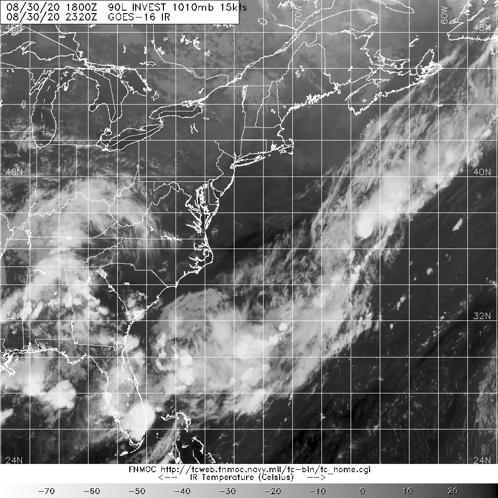
2. REMARKS: A BROAD AREA OF LOW PRESSURE IS LOCATED ABOUT 150 MILES
SOUTH-SOUTHEAST OF WILMINGTON, NORTH CAROLINA. THE SURFACE
CIRCULATION HAS BECOME A LITTLE BETTER DEFINED THIS MORNING AND THE
ASSOCIATED SHOWERS AND THUNDERSTORMS HAVE EXPANDED IN COVERAGE.
SUBSEQUENTLY, A TROPICAL DEPRESSION IS LIKEY TO DEVELOP DURING THE
NEXT 24 HOURS AS IT MOVES GENERALLY NORTHEASTWARD WELL OFFSHORE OF
THE SOUTHEASTERN AND MID-ATLANTIC COAST OF THE UNITED STATES.
3. THIS ALERT WILL BE REISSUED, UPGRADED TO WARNING OR CANCELLED BY
011300Z.
4. SEE REF A FOR DETAILS ON A TROPICAL CYCLONE FORMATION ALERT
LOCATED NEAR 12.6N 64.0W.//
BT
#0001
NNNN

al902020.gif 20200831.1530.goes-16.vis.2km.90L.INVEST.25kts.1009mb.31.6N.77.4W.pc.jpg
LATEST.jpg

本平台僅供學術討論之用,預報應以氣象局為準

威普網站虛擬主機贊助公司

臺灣第一個天氣類型社群平台 即時天氣資訊、精準颱風動態

線上客服
FB傳送訊息
廣告行銷
精準行銷 物超所值
官方粉專
發佈 快速回復 返回頂部 返回列表