Tropical Weather Outlook
NWS National Hurricane Center Miami FL
800 AM EDT Wed Jun 30 2021
For the North Atlantic...Caribbean Sea and the Gulf of Mexico:
1. A broad area of low pressure, associated with a tropical wave, is
located about midway between the west coast of Africa and the
Windward Islands. This system is producing a large area of showers
and thunderstorms that continues to show some signs of organization.
Environmental conditions appear generally favorable for development,
and a tropical depression is likely to form during the next few
days while the system moves west-northwestward at about 20 mph.
Interests in the Windward and Leeward Islands should closely
monitor this system as it will likely be moving through that region
on Friday.
* Formation chance through 48 hours...medium...60 percent.
* Formation chance through 5 days...high...80 percent.
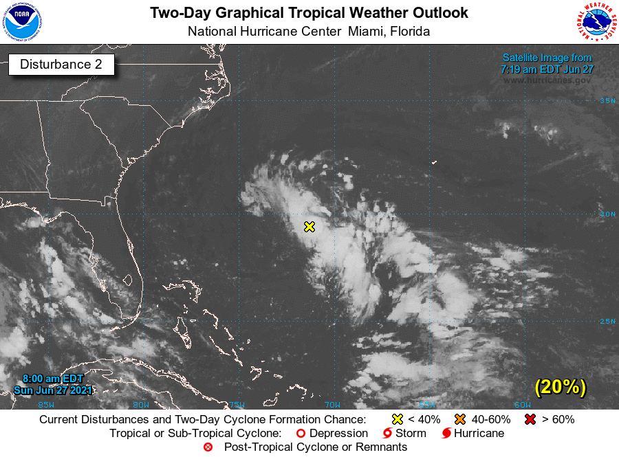
2. Disorganized showers and thunderstorms continue in association with
a tropical wave located just east of the Lesser Antilles.
Significant development of this system is unlikely while it moves
quickly westward to west-northwestward at 20 to 25 mph, passing
through the Lesser Antilles today and then across the eastern and
central Caribbean Sea later this week. Regardless of development,
this system could bring locally heavy rainfall to portions of the
Lesser Antilles during the next day or two.
* Formation chance through 48 hours...low...10 percent.
* Formation chance through 5 days...low...10 percent.
Remnants Of Danny Discussion Number 4
NWS National Hurricane Center Miami FL AL042021
500 AM EDT Tue Jun 29 2021
Surface observations indicate that the low-level circulation
associated with Danny is no longer well-defined. Therefore, Danny is
no longer classifiable as a tropical cyclone. The observations also
indicated that the maximum winds associated with these remnants
have decreased to 20 kt or less, while surface pressures have risen
to 1019 mb. The remnants of Danny are moving west-northwestward at
about 15 kt and this general motion is expected to continue through
today, with locally heavy rainfall spreading across portions of
northern Georgia and Alabama.
This is the last NHC advisory on Danny. For additional information
specific to your area, please refer to products issued by your local
National Weather Service Forecast Office.
Key Messages:
1. Heavy rainfall from the remnants of Danny may produce isolated
flash flooding, especially in urban areas, across western and
northern Georgia into central and northern Alabama today.
Tropical Depression Danny Discussion Number 3
NWS National Hurricane Center Miami FL AL042021
1100 PM EDT Mon Jun 28 2021
Danny made landfall just north of Hilton Head on Pritchards Island,
South Carolina, around 2330 UTC with maximum winds of about 35 kt.
Since then, the storm moved inland across extreme southern South
Carolina and is now located over east-central Georgia. Surface
observations and Doppler radar data indicate that Danny has
weakened, and the cyclone has now been downgraded to a 30-kt
tropical depression. Heavy rains associated with the depression
are spreading westward across central Georgia.
The weakening cyclone is moving west-northwestward at about 13 kt.
This general motion is expected to continue overnight and Tuesday
taking Danny, or its remnants, across Georgia and northern Alabama.
As the system continues its trek inland, additional weakening is
forecast, and Danny will likely dissipate by late Tuesday.
Key Messages:
1. Heavy rainfall is possible from coastal southern South Carolina
and Georgia, inland across the Piedmont of Georgia into northeast
Alabama. Isolated flooding is possible across urban areas of the
southern South Carolina and Georgia coasts.
Tropical Depression Four Discussion Number 1
NWS National Hurricane Center Miami FL AL042021
1100 AM EDT Mon Jun 28 2021
The area of disturbed weather and associated low pressure system
that the NHC has been tracking the past couple of days has developed
into a tropical depression off the coast of South Carolina this
morning. The inner-core cloud structure noted in high-resolution
visible satellite imagery has continued to tighten up and deep
convection with cloud top temperatures of -60 deg C have persisted
northwest through southwest of the center, yielding a Dvorak shear
pattern intensity estimate of 30 kt. This intensity estimate is
consistent with overnight scatterometer surface wind data of 31-32
kt just north of the well-defined center.
The initial motion estimate is 300/14 kt. The small tropical cyclone
is expected to maintain a west-northwestward to northwestward motion
for the next couple of days, resulting in landfall along the
south-central coast of South Carolina later this evening. The small
cyclone is expected to dissipate by 48 hours, if not sooner, when
the system will be located over the southern Appalachian Mountains.
The NHC track forecast lies close to the tightly packed GFS- and
ECMWF-based Beta-Advection models due to the lack of any significant
inner-core convection, which is allowing the cyclone to be steered
more by the low-level flow rather than the deep-layer flow as
depicted by the global and regional models.
There is a narrow window of opportunity this afternoon for the
depression to strengthen into a tropical storm before landfall
occurs. During the next few hours, the small cyclone will be passing
over the warmer Gulf Stream where sea-surface temperatures are
around 28 deg C. In addition, as the outer wind field begins to
interact with land, low-level frictional convergence along and just
offshore should help to generate deep convection just prior to
landfall, helping to spin up the wind field. The NHC forecast shows
the system becoming a tropical storm before landfall, and as a
result a tropical storm warning has been issued for a portion of
the South Carolina coast.
An Air Force Reserve Unit reconnaissance aircraft will investigate
the system this afternoon beginning around 1800 UTC, providing more
detailed information on the cyclone's intensity.
Key Messages:
1. Heavy rainfall is possible from coastal southern South Carolina
and Georgia, inland across the Piedmont of Georgia into northeast
Alabama. Isolated flooding is possible across urban areas of the
southern South Carolina and Georgia coasts.
2. Tropical-storm-force winds are expected across portions of
the South Carolina coast late this afternoon and tonight where a
Tropical Storm Warning is in effect.
3. Swells generated by the depression are expected to affect
portions of the South Carolina coast this afternoon and tonight.
These swells could cause life-threatening surf and rip currents.