Tropical Depression Eight-E Discussion Number 1
NWS National Hurricane Center Miami FL EP082017
800 AM PDT Tue Jul 18 2017
Deep convection associated with the area of low pressure located
well southwest of the Baja California peninsula developed closer to
the system's center overnight. It has also produced convection for
more than 24 hours despite strong northwesterly shear. Based on the
recent slight improvement in organization, and Dvorak T-numbers of
2.0 and 2.5 from SAB and TAFB, advisories are initiated on a 30-kt
tropical depression.
A large upper-level low centered to its north-northwest is currently
imparting about 25-30 kt of shear over the system. The shear is not
expected to lessen during the next day or two, and only slight
strengthening is indicated in the official forecast during that
time. After 72 hours, the upper-level wind pattern could become
less hostile which could allow for some strengthening if the
tropical cyclone survives the shear over the next couple of days.
The latter portion of the intensity forecast is of low confidence.
The depression has been moving slowly westward or west-
northwestward, but is expected to begin a slow southwestward motion
later today, which is due in part to the circulation of Tropical
Storm Greg to its east. Later in the forecast period, as Greg passes
to its north, the tropical cyclone should begin to move west-
northwestward at a faster forward speed. An alternative
scenario shown by the GFS and UKMET models is for the depression to
weaken and be absorbed by the circulation of Greg in a few days.
Given the possible interaction of Greg, the confidence in the
track forecast is also quite low.
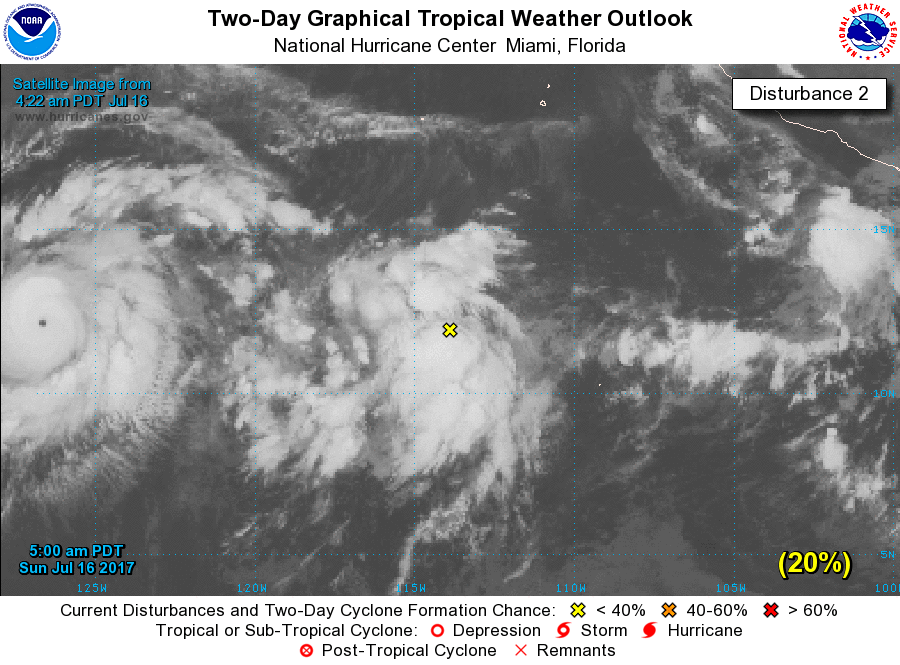
1. Satellite images indicate that showers and thunderstorms continue
to become better organized in association with a low pressure
system located about 750 miles southwest of the southern tip of
the Baja California. Although upper-level winds are currently only
marginally conducive for development, only a small increase in the
organization of this system could lead to the formation of a
tropical depression at any time. This disturbance is expected to
move slowly westward or west-southwestward during the next few
days.
* Formation chance through 48 hours...high...70 percent.
* Formation chance through 5 days...high...70 percent.