|
|
 霧峰追風者|2017-10-4 17:07
|
顯示全部樓層
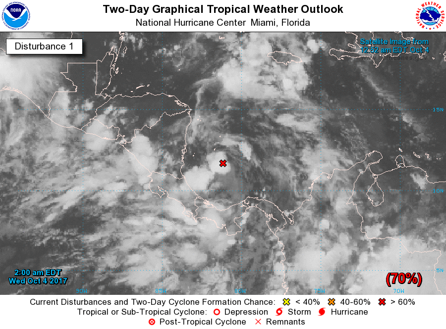
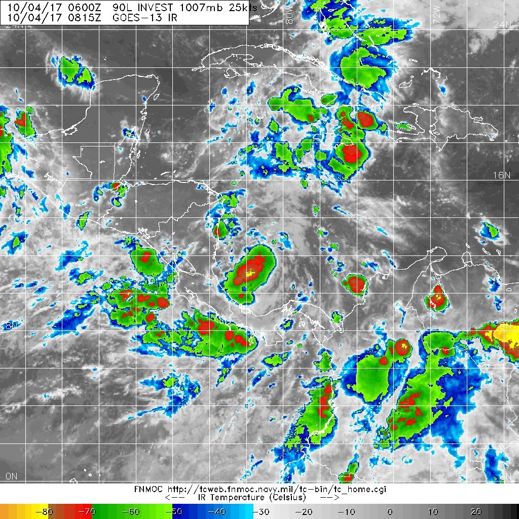
NHC 展望提升至70%1. Showers and thunderstorms associated with the broad area of low
pressure located over the southwestern Caribbean Sea continue to
show signs of organization. Environmental conditions are forecast
to steadily become more conducive for development, and this system
is expected to become a tropical depression within the next couple
of days. The large disturbance should move slowly northwestward
across or near the eastern portions of Nicaragua and Honduras, move
into the northwestern Caribbean Sea on Thursday, and emerge over
the southern Gulf of Mexico by the weekend. Interests in Nicaragua,
Honduras, Belize, and the Yucatan peninsula should monitor the
progress of this system over the next few days. An Air Force
Reserve reconnaissance aircraft is scheduled to investigate the
disturbance this afternoon, if necessary. Regardless of
development, this system will likely produce heavy rains over
portions of Central America during the next few days.
* Formation chance through 48 hours...high...70 percent.
* Formation chance through 5 days...high...80 percent. 

|
|