BULLETIN
Tropical Storm Selma Intermediate Advisory Number 5A
NWS National Hurricane Center Miami FL EP202017
700 AM CDT Sat Oct 28 2017
...SELMA MAKES LANDFALL JUST SOUTHEAST OF SAN SALVADOR...
SUMMARY OF 700 AM CDT...1200 UTC...INFORMATION
----------------------------------------------
LOCATION...13.6N 88.9W
ABOUT 20 MI...34 KM ESE OF SAN SALVADOR EL SALVADOR
MAXIMUM SUSTAINED WINDS...40 MPH...65 KM/H
PRESENT MOVEMENT...N OR 5 DEGREES AT 9 MPH...15 KM/H
MINIMUM CENTRAL PRESSURE...1005 MB...29.68 INCHES
Tropical Storm Selma Discussion Number 5
NWS National Hurricane Center Miami FL EP202017
400 AM CDT Sat Oct 28 2017
The satellite appearance of Selma remains about the same as before
with a small area of deep convection near and west of the center.
The initial wind speed is held at 35 kt, perhaps generously,
although there hasn't been any ASCAT data in over 24 hours now.
Little change in strength is forecast before landfall in El Salvador
during the next few hours, and the cyclone should dissipate over the
rugged terrain of Central America by this evening. Model guidance
is in good agreement on this scenario, and no significant
changes were made to the previous track or intensity forecasts.
The primary threat associated with Selma is heavy rainfall with 2
to 5 inches possible over portions of El Salvador and Guatemala.
Tropical Storm Selma Discussion Number 1
NWS National Hurricane Center Miami FL EP202017
400 AM CDT Fri Oct 27 2017
Satellite images indicate that deep convection has become more
concentrated over the past several hours in the western semicircle
of the low over the far eastern part of the eastern Pacific.
Scatterometer data from overnight also indicate that the low has
become well defined, with winds of about 35 kt. Thus, advisories are
being initiated on Tropical Storm Selma. This is a rare location
for a tropical storm to form in the eastern Pacific, and this is the
only the second tropical storm to form on record east of 90W that
didn't come from an Atlantic cyclone (the first was Alma 2008).
A weak ridge of high pressure over southeastern Mexico is causing
the storm to move slowly northwestward. However, this pattern is
forecast to change quickly as the ridge breaks down due to a large
mid-latitude trough dropping into the Gulf of Mexico during the
next 24 hours. This pattern should steer Selma toward the north
over the weekend, although the models are in rather poor agreement
on exactly when that turn occurs. To complicate matters, there is
also some chance of interaction with the Caribbean disturbance AL93,
with the models showing the most interaction, such as the UKMET or
ECMWF, having tracks on the eastern side of the guidance envelope.
The GFS-based guidance shows little interaction and shows a track
more toward Guatemala. The NHC forecast splits the difference
between the model consensus and the ECMWF, and is just east of the
latest NOAA-corrected consensus, necessitating a Tropical Storm
Warning for El Salvador. This is a low confidence forecast due to
the large spread in the guidance and a Tropical Storm Watch or
Warning could be required for portions of the coast of Guatemala
later today.
Selma has a day or so of very warm waters and light-to-moderate
shear in its path. These conditions should promote strengthening,
and the NHC intensity forecast is consistent with the bulk of the
models. It should be emphasized, however, that the most significant
hazard expected with Selma is heavy rainfall. Up to 10 inches of
rain are possible over El Salvador and southern Guatemala, which
could cause life-threatening flash floods and mudslides.
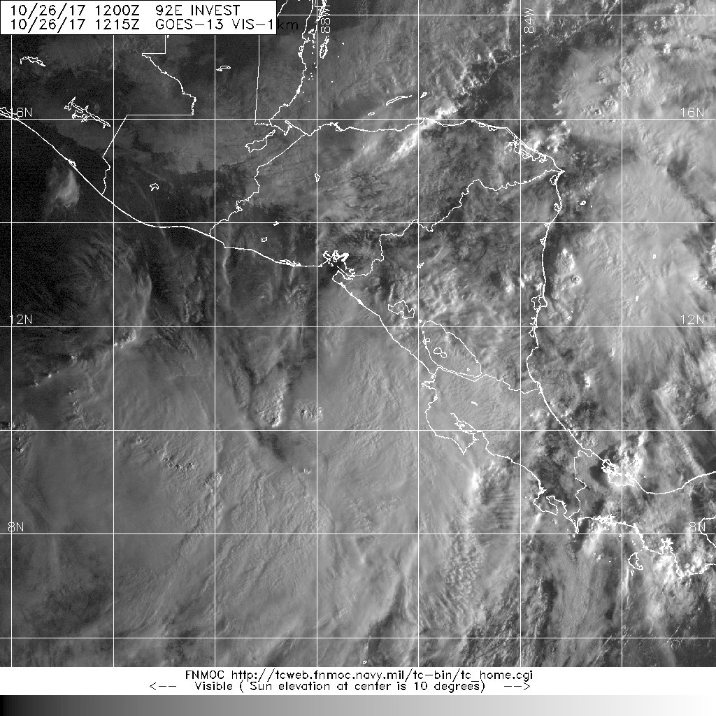
1. An area of disturbed weather, associated with an elongated area of
low pressure, is located a few hundred miles west of the coast of
Costa Rica. Environmental conditions are forecast to be conducive
for development, and a tropical depression could form during the
next couple of days as the system moves west-northwestward to
northwestward near the coast of Central America. Regardless of
development, locally heavy rains are likely over portions of Central
America through Saturday.
* Formation chance through 48 hours...high...70 percent.
* Formation chance through 5 days...high...70 percent.


.png")