1. A broad area of low pressure located near the central and eastern
Azores is producing disorganized shower activity while it moves
northeastward at around 10 mph. Environmental conditions are
expected to remain unfavorable for subtropical cyclone formation
before the low dissipates in the next day or so. For additional
information on this system, see High Seas Forecasts issued by
Meteo-France.
* Formation chance through 48 hours...low...10 percent.
* Formation chance through 5 days...low...10 percent.
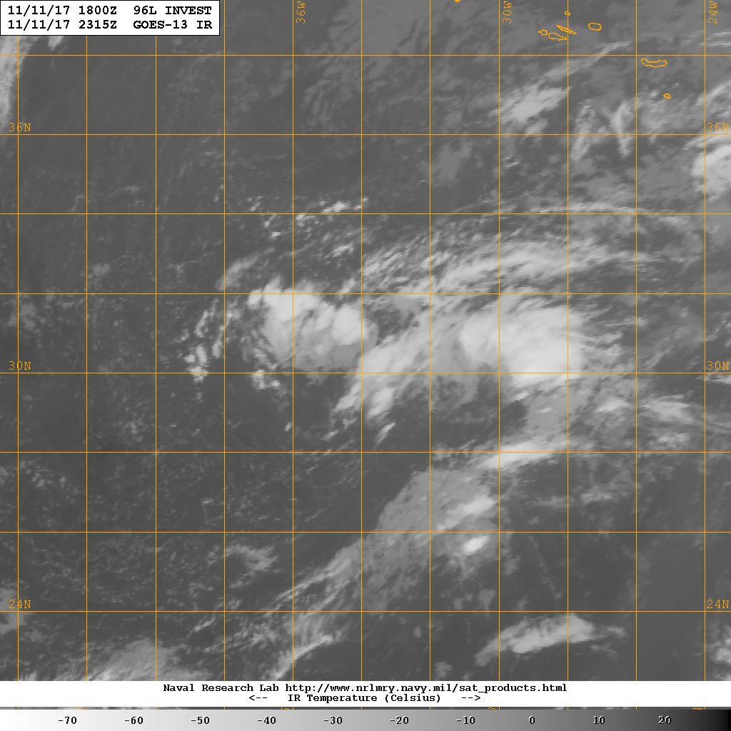
1. Showers and thunderstorms have increased a little during the past
several hours in association with a low pressure system located
about 400 miles south-southwest of the Azores. Additional
development of this system is possible, and it could become a
subtropical cyclone during the next couple of days before
upper-level winds become unfavorable. Regardless of development,
this low is expected to produce winds to near gale force during the
next day or two while it moves slowly northeastward.
* Formation chance through 48 hours...medium...40 percent.
* Formation chance through 5 days...medium...50 percent.


.png")