IDW27600
TROPICAL CYCLONE TECHNICAL BULLETIN: AUSTRALIA - WESTERN REGION
Issued by AUSTRALIAN BUREAU OF METEOROLOGY TROPICAL CYCLONE WARNING CENTRE
at: 0115 UTC 12/04/2021
Name: Ex-Tropical Cyclone Seroja
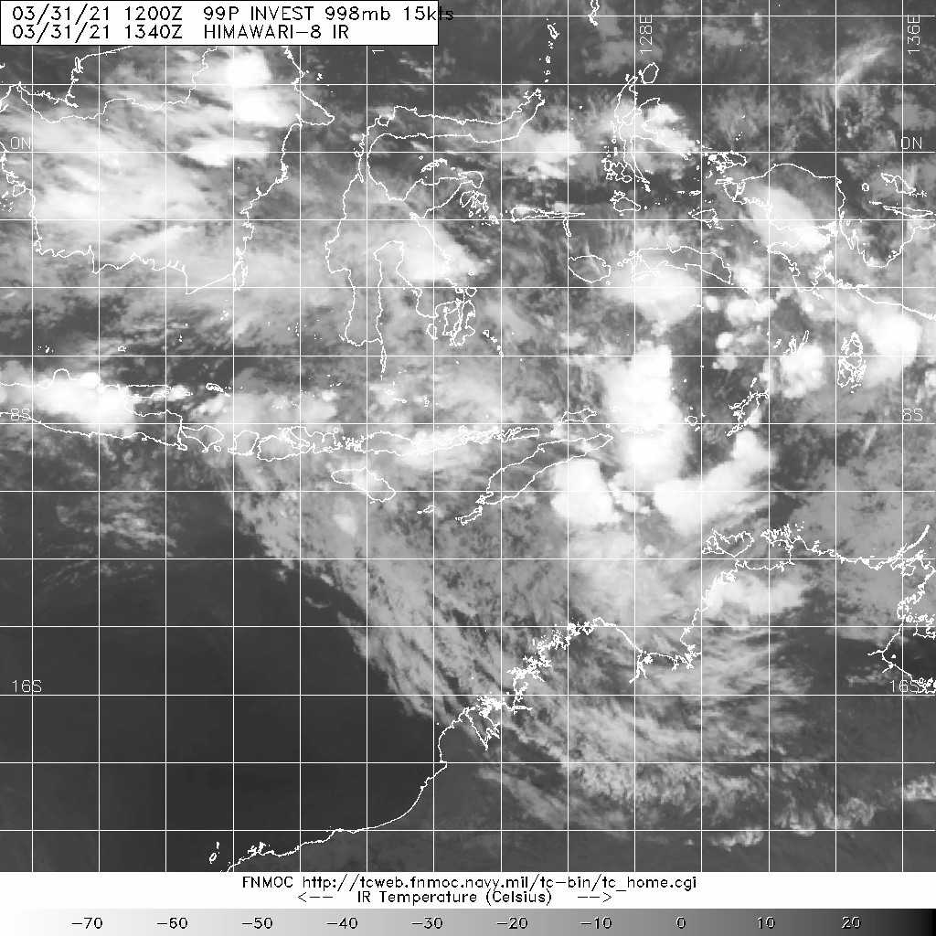
Identifier: 22U
Data At: 0000 UTC
Latitude: 32.6S
Longitude: 120.2E
Location Accuracy: within 30 nm [55 km]
Movement Towards: southeast [128 deg]
Speed of Movement: 33 knots [60 km/h]
Maximum 10-Minute Wind: 30 knots [55 km/h]
Maximum 3-Second Wind Gust: 50 knots [95 km/h]
Central Pressure: 988 hPa
Radius of 34-knot winds NE quadrant:
Radius of 34-knot winds SE quadrant:
Radius of 34-knot winds SW quadrant:
Radius of 34-knot winds NW quadrant:
Radius of 48-knot winds NE quadrant:
Radius of 48-knot winds SE quadrant:
Radius of 48-knot winds SW quadrant:
Radius of 48-knot winds NW quadrant:
Radius of 64-knot winds:
Radius of Maximum Winds:
Dvorak Intensity Code: NA
Pressure of outermost isobar: 996 hPa
Radius of outermost closed isobar: 95 nm [175 km]
FORECAST DATA
Date/Time : Location : Loc. Accuracy: Max Wind : Central Pressure
[UTC] : degrees : nm [km]: knots[km/h]: hPa
+06: 12/0600: 34.9S 123.7E: 055 [100]: 030 [055]: 990
+12: 12/1200: 37.2S 127.2E: 075 [140]: 030 [055]: 988
+18: 12/1800: : : :
+24: 13/0000: : : :
+36: 13/1200: : : :
+48: 14/0000: : : :
+60: 14/1200: : : :
+72: 15/0000: : : :
+96: 16/0000: : : :
+120: 17/0000: : : :
REMARKS:
Current position of Seroja is uncertain due to a separation between surface obs
and the above surface circulation and rainfall.
As the system is over land Dvorak is not applicable.
The system made landfall between Kalbarri and Northampton around 1130Z as a
category 3 system. It has continued to weaken as it moves southeast over land
under the influence of a mid-level high to the northeast and an approaching
mid-latitude trough to the southwest.
It is expected to move offshore from the south coast of WA at about midday WST
Monday.
Copyright Commonwealth of Australia
==
There will be no further bulletins for this system unless it reintensifies.
Details of Ex-Tropical Cyclone Seroja at 5:00 am AWST:
Intensity: tropical low, sustained winds near the centre of 75 kilometres per hour with wind gusts to 100 kilometres per hour.
Location: within 35 kilometres of 31.7 degrees South, 118.6 degrees East , 35 kilometres southeast of Merredin and 390 kilometres northwest of Esperance .
Movement: southeast at 60 kilometres per hour .
Ex-tropical cyclone Seroja has weakened below cyclone strength as it moves southeast between Merridin and Southern Cross.
The system will continue to move quickly southeast at around 65 kilometres per hour over the eastern Wheat Belt, southern Goldfields and South East Coastal district this morning, moving offshore of the south coast of Western Australia in the afternoon.
The remnants of Seroja will continue to weaken during the morning but is still likely to result in damaging wind gusts, particularly to the north and east of the track, and heavy rain close to the track. A Severe Weather Warning is current at http://www.bom.gov.au/products/IDW21037.shtml
The eye of severe tropical cyclone Seroja has moved onto the coast south of Kalbarri.
Areas affected:
Warning zone: Overlander Roadhouse to Lancelin along the coast, extending to inland areas including Mount Magnet, Paynes Find, Dalwallinu, Mukinbudin, Merredin and Southern Cross.
Watch zone: None.
Cancelled zones: Minilya Roadhouse to Overlander Roadhouse.
Details of Severe Tropical Cyclone Seroja at 8:00 pm AWST:
Intensity: category 3, sustained winds near the centre of 120 kilometres per hour with wind gusts to 165 kilometres per hour.
Location: within 20 kilometres of 28.1 degrees South, 114.3 degrees East , 45 kilometres south southeast of Kalbarri and 80 kilometres north northwest of Geraldton .
Movement: southeast at 53 kilometres per hour .
The core of severe tropical cyclone Seroja is moving onto the coast south of Kalbarri, where wind gusts to 170 km/h have been reported. Impacts are otherwise occurring about the coast and adjacent inland between Denham and Geraldton.
Seroja is travelling at around 55 kilometres per hour, and significant impacts are expected to extend south and inland through to Wheat Belt communities overnight.
The cyclone will weaken as it moves further inland on Monday but is still likely to result in damaging wind gusts, particularly to the north and east of the track, and heavy rain close to the track, as it moves through the eastern Wheat Belt, southern Goldfields and South East Coastal district. A Severe Weather Warning is current for areas to the southeast of the Tropical Cyclone Warning area.
Hazards:
VERY DESTRUCTIVE WINDS, with gusts to 170 kilometres per hour, have occurred in Kalbarri and nearby areas to the south and east as the core of Severe Tropical Cyclone Seroja crosses the coast.
DESTRUCTIVE WINDS with gusts to 150 kilometres per hour are occurring on the coast between Billabong Roadhouse and Geraldton, and will extend inland overnight tonight. Destructive gusts above 125 kilometres per hour may extend inland as far as a line from Dalwallinu to Paynes Find, including Morawa. Towns in this area very rarely experience wind gusts this strong.
GALES with gusts to 100 kilometres per hour are occurring on the coast between Denham and south of Geraldton, and extend inland to Chapman Valley and Binnu. Gales will extend south of Geraldton during the next few hours, and extend inland into the southern Gascoyne and northern Wheatbelt overnight.
People near Geraldton are experiencing intermittent GALES, and are likely to experience a brief period of DESTRUCTIVE winds around 9 pm.
Seroja is moving fast, so weather conditions will deteriorate rapidly as it approaches.
HEAVY TO INTENSE RAINFALL and FLASH FLOODING are likely close to the track of Seroja during Sunday evening and Monday.
ABNORMALLY HIGH TIDES could cause minor inundation at the coast between Coral Bay and Lancelin, increasing to SERIOUS FLOODING in the Denham and Shark Bay region and near Kalbarri. Dangerous surf and beach erosion is expected between Denham and Geraldton.
Recommended Action:
.DFES advises of the following community alerts effective as of 8:00 PM Sunday 11th April 2021.
Cyclone RED ALERT for south of Carnarvon to Lancelin, including the Shires of Shark Bay, Northampton, Chapman Valley, Morawa, City of Greater Geraldton, Mingenew, Three Springs, Perenjori, Irwin the townsites of Coorow and Carnamah in the Midwest Gascoyne
Cyclone YELLOW ALERT is current for people between Minilya Roadhouse to Carnarvon in the Midwest Gascoyne
Cyclone Blue Alert is current for people near the locations of Wongan Ballidu, Mt Marshall, Trayning, Koorda, Nungarin, Mukinbudin & Dalwallinu.
People needing SES assistance can call 132 500. In a life-threatening situation call 000. For more safety tips visit www.emergency.wa.gov.au