2. Disorganized showers and thunderstorms have changed little in
association with an elongated low pressure area located several
hundred miles east of the Lesser Antilles. Development of this
system is becoming less likely during the next few days while it
moves toward the west or west-southwest at around 10 mph.
* Formation chance through 48 hours...low...10 percent.
* Formation chance through 5 days...low...20 percent.
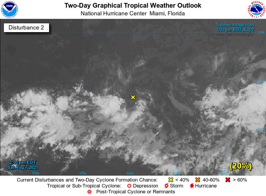
2. Showers and thunderstorms associated with an area of low pressure
located over the tropical Atlantic about midway between the Cabo
Verde Islands and the Lesser Antilles have become more concentrated
since yesterday. Environmental conditions are expected to become a
little more favorable for gradual development, and this system
could become a tropical depression within the next few days. The
system is forecast to move slowly toward the west-southwest or west
during the next couple of days, and then move a little faster toward
the west by mid-week.
* Formation chance through 48 hours...low...30 percent.
* Formation chance through 5 days...medium...40 percent.