1. Eastern Tropical Atlantic:
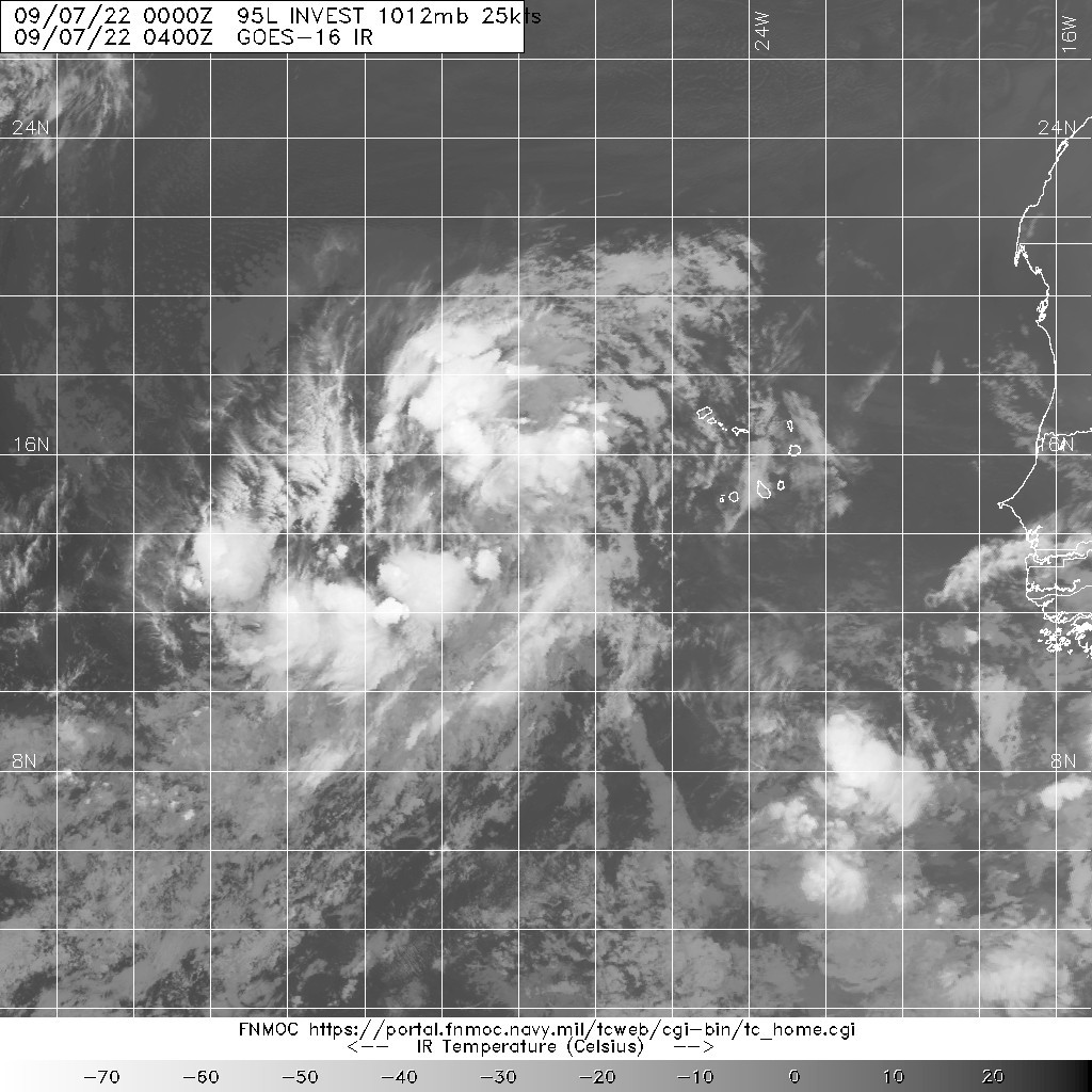
An area of low pressure located several hundred miles west of the
Cabo Verde Islands continues to produce disorganized showers and
thunderstorms. Environmental conditions appear conducive for
additional development of this system and a tropical depression is
likely to form in the next couple of days while it moves westward
to west-northwestward at 15 to 20 mph over the central tropical
Atlantic. After that time, upper-level winds are forecast to become
less conducive for development.
* Formation chance through 48 hours...high...70 percent.
* Formation chance through 5 days...high...70 percent.