Tropical Depression Eleven Discussion Number 1
NWS National Hurricane Center Miami FL AL112022
1100 AM AST Wed Sep 28 2022
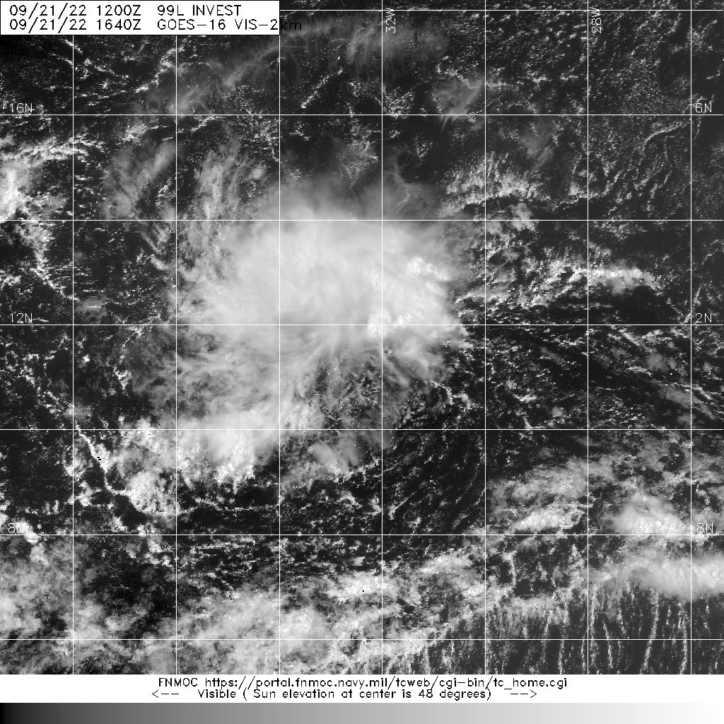
Over the past 24 hours, convection has been gradually increasing in
organization with the well-defined area of low pressure located
several hundred miles to the west of the Cabo Verde islands.
Overnight, we received Metop-B and C scatterometer data that
confirmed a closed cyclonic circulation, with peak winds up to at
least 30 kt in the deeper convection to the east of the center
location. There were even a few higher wind retrievals, but these
may have been rain contaminated in the intense convection. Since
that time, the convection has remained persistent, and TAFB has been
providing a subjective intensity estimate of T2.0/30-kt for the last
12-18 hours. A more recent scatterometer pass also indicates the
circulation remains closed and well-defined. Thus, the system can be
considered a tropical depression, and the maximum sustained winds
will be set at 30-kt for this advisory.
After meandering in the same location for the last 2-4 days, the
depression now appears to be finally gaining some latitude with the
estimated motion at 350/8-kt. The very slow motion over the past few
days was related to a large weakness in the steering flow due to a
broad and expansive upper-level trough to the north. Low to
mid-level ridging is finally starting to nose in from the east over
the past 24 hours, and the ongoing northward motion is expected to
continue with a gradual turn more north-northwestward. The guidance
is in fairly good agreement with this solution, and the initial NHC
forecast track follows closely with the reliable consensus aids TVCN
and HFIP corrected consensus approach (HCCA).
The depression has a short window to intensify a bit more in the
short-term, while the vertical wind shear remains under 10 kt for
the next 12-18 hours. However, as the storm gains latitude, it will
quickly become highly sheared from the aforementioned upper-level
trough that lies along its track. Thus, only slight strengthening is
shown in the 12-h forecast followed by a steady state or weakening
tropical cyclone in the 24-48 hour forecast period. The system is
expected to open up into a trough by 72 hours as it succumbs to the
highly unfavorable environment, and this could occur sooner than
forecasted. The NHC intensity forecast is in good agreement with the
majority of the guidance, and also lies near the HCCA aid.