基本資料
編號 :99 L
擾動編號日期:2022 年 12 月 06 日 03 時
撤編日期 :2022 年 00 月 00 日 00 時
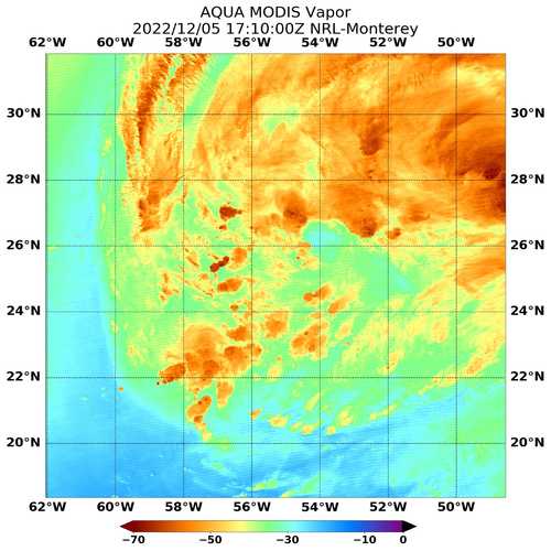
99L.INVEST.35kts.1002mb.26.1N.54.4W
1. A large area of low pressure located ov ...
Special Tropical Weather Outlook
NWS National Hurricane Center Miami FL
830 PM EST Mon Dec 5 2022
For the North Atlantic...Caribbean Sea and the Gulf of Mexico:
Special Tropical Weather Outlook issued to discuss the potential for
subtropical development this week over the central Atlantic.
1. Central Subtropical Atlantic:
A large and complex area of low pressure located over the central
subtropical Atlantic about 800 miles northeast of the northern
Leeward Islands continues to produce a broad area of disorganized
showers and thunderstorms. Environmental conditions appear
conducive for this system to acquire some subtropical or tropical
characteristics while it meanders generally northeastward during the
next few days. By Friday, the low is expected to move over cooler
waters and interact with a mid-latitude trough, limiting potential
of tropical transition after that time. Additional information on
this system, including gale warnings, can be found in High Seas
Forecasts issued by the National Weather Service. The next Special
Tropical Weather Outlook on this system will be issued by 9 AM EST
Tuesday, or earlier, if necessary.
* Formation chance through 48 hours...medium...40 percent.
* Formation chance through 5 days...medium...50 percent.
High Seas Forecasts issued by the National Weather Service
can be found under AWIPS header NFDHSFAT1, WMO header FZNT01
KWBC, and online at ocean.weather.gov/shtml/NFDHSFAT1.php