|
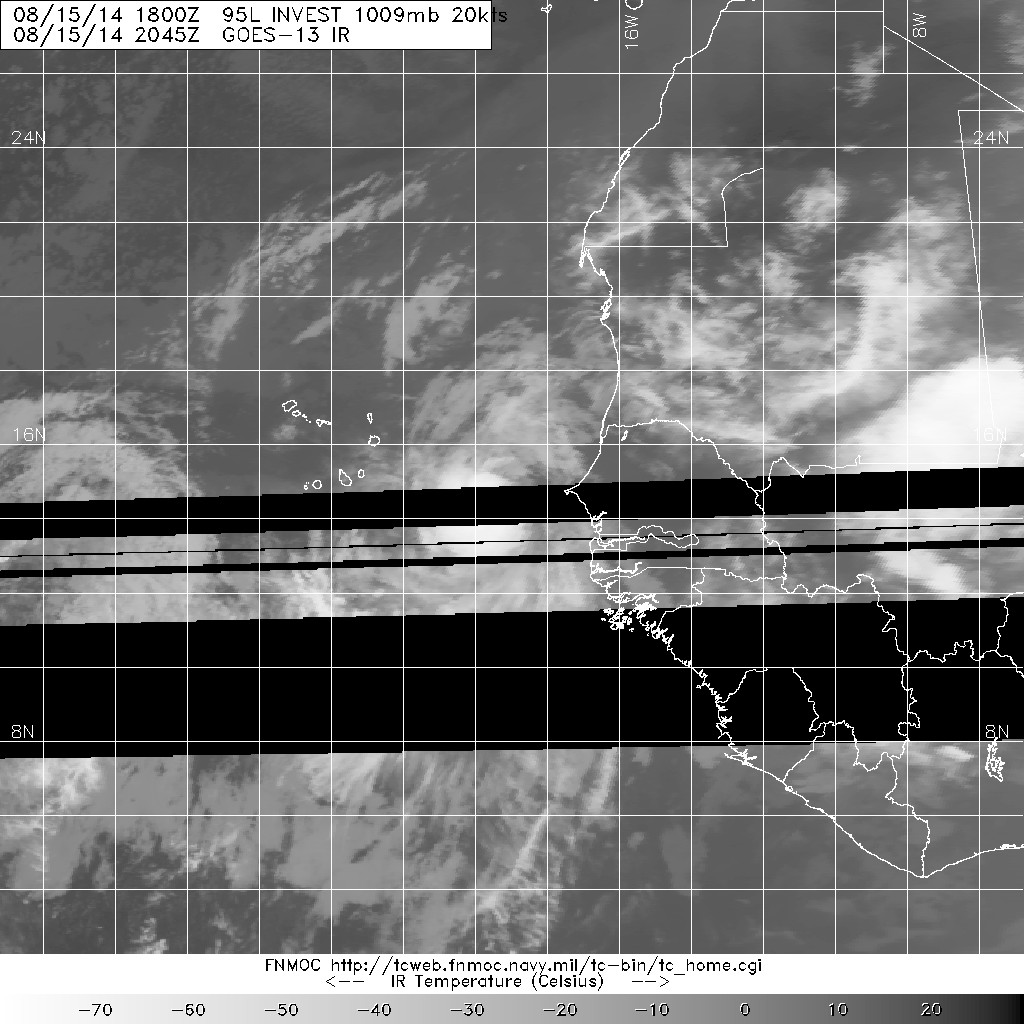
稍早看起來還不錯 現在就裸奔了 = = NHC 降評 Low 數值也不看好發展 arly morning visible satellite images indicate that the showeractivity associated with an area of low pressure centered betweenthe west coast of Africa and the Cape Verde Islands has becomedisorganized. Although the potential for tropical cyclone formationhas diminished considerably, the low could still produce a fewsqualls over the Cape Verde Islands today as it driftswest-northwestward.* Formation chance through 48 hours...low...20 percent.* Formation chance through 5 day...low...20 percent. |
|
NHC升評Medium(50%) 螺旋性還挺明顯的 不過數值目前不看好發展 SPECIAL TROPICAL WEATHER OUTLOOK NWS NATIONAL HURRICANE CENTER MIAMI FL 935 PM EDT FRI AUG 15 2014 For the North Atlantic...Caribbean Sea and the Gulf of Mexico: Special outlook issued to discuss the system over the far eastern tropical Atlantic. 1. Updated: Shower and thunderstorm activity associated with an area of low pressure located about midway between the west coast of Africa and the Cape Verde Islands continues to show signs of organization. Satellite data indicate that the low is producing winds of around 35 mph and that the surface circulation has become better defined during the past few hours. Some additional development is possible, and a tropical depression could form in the next 12 to 24 hours while this system moves westward to west- northwestward at around 5 mph. After that time, environmental conditions are expected to become less conducive for development or strengthening. Interests in the Cape Verde Islands should monitor the progress of this system. * Formation chance through 48 hours...medium...50 percent. * Formation chance through 5 day...medium...50 percent. |