簽到天數: 3279 天 [LV.Master]伴壇終老
|
 t02436|2017-7-21 11:41
|
顯示全部樓層
t02436|2017-7-21 11:41
|
顯示全部樓層
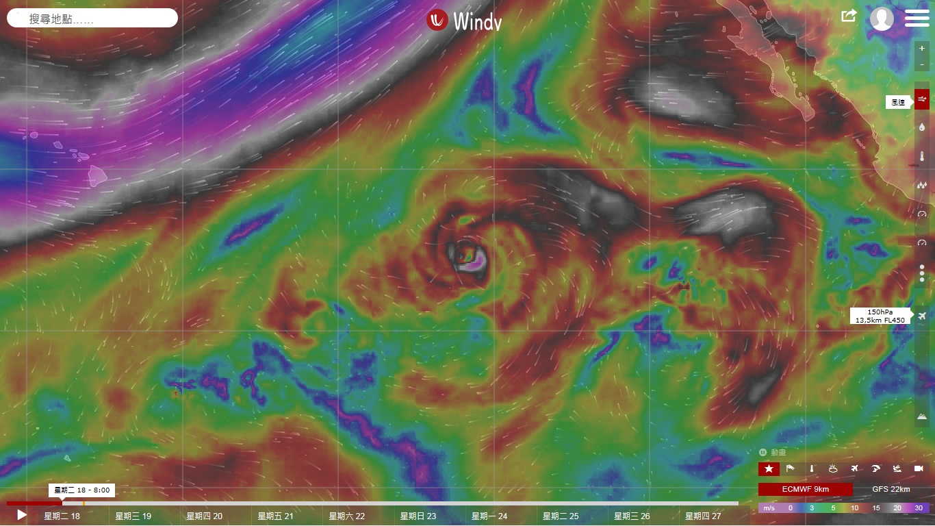
CPHC今年第一份熱帶氣旋報告,持續減弱中。
Tropical Storm Fernanda Public Advisory Number 37
Issued at 500 PM HST Thu Jul 20 2017
WTPA31 PHFO 210236
TCPCP1
BULLETIN
Tropical Storm Fernanda Advisory Number 37
NWS Central Pacific Hurricane Center Honolulu HI EP062017
500 PM HST Thu Jul 20 2017
...FERNANDA CONTINUES TO WEAKEN IN THE CENTRAL PACIFIC...
SUMMARY OF 500 PM HST...0300 UTC...INFORMATION
----------------------------------------------
Location: 18.4N 141.4W
ABOUT 900 MI...1445 KM E OF HILO HAWAII
ABOUT 1090 MI...1755 KM E OF HONOLULU HAWAII
Maximum sustained winds: 50 MPH...85 KM/H
Present movement: W or 280 degrees AT 12 MPH...19 KM/H
Minimum central pressure: 1000 MB...29.53 INCHES
WATCHES AND WARNINGS
--------------------
There are no coastal watches or warnings in effect.
DISCUSSION AND 48-HOUR OUTLOOK
------------------------------
At 500 PM HST (0300 UTC), the center of Tropical Storm Fernanda was
located near latitude 18.4 North, longitude 141.4 West. Fernanda is
moving toward the west near 12 mph (19 km/h), and a general motion
toward the west-northwest is expected during the next couple of
days.
Maximum sustained winds are near 50 mph (85 km/h) with higher gusts.
Additional weakening is forecast during the next 48 hours, and
Fernanda is expected to become a tropical depression on Friday.
Tropical-storm-force winds extend outward up to 80 miles (130 km)
from the center.
The estimated minimum central pressure is 1000 mb (29.53 inches).
HAZARDS AFFECTING LAND
----------------------
None.
NEXT ADVISORY
-------------
Next complete advisory at 1100 PM HST.
$$
Forecaster Kodama


WTPA41 PHFO 210240
TCDCP1
Tropical Storm Fernanda Discussion Number 37
NWS Central Pacific Hurricane Center Honolulu HI EP062017
500 PM HST Thu Jul 20 2017
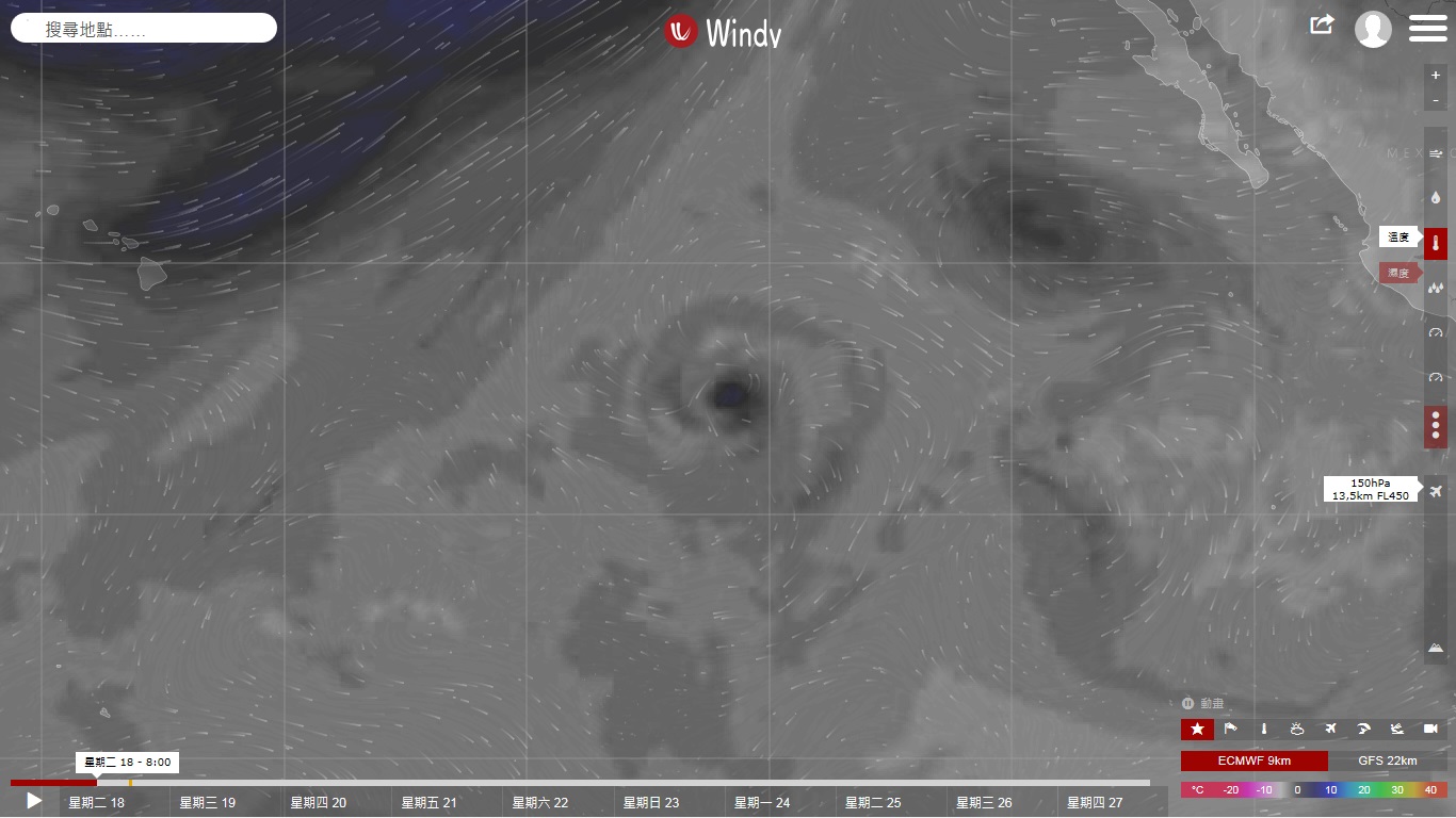
Most of the deep convection near the center of Fernanda has
dissipated leaving an exposed low level circulation center
surrounded by mostly low- and mid-level clouds. The remaining
thunderstorms are confined to an outer rainband more than 60 nm
north of the center. The initial intensity is 45 kt which is
slightly weaker than the previous advisory. This may be conservative
but an ASCAT pass from 1936 UTC sampled the northwestern portion of
the circulation and found 40 kt. Subjective Dvorak estimates from
PHFO and SAB came in at 35 kt but this may be too aggressive a drop
at this time.
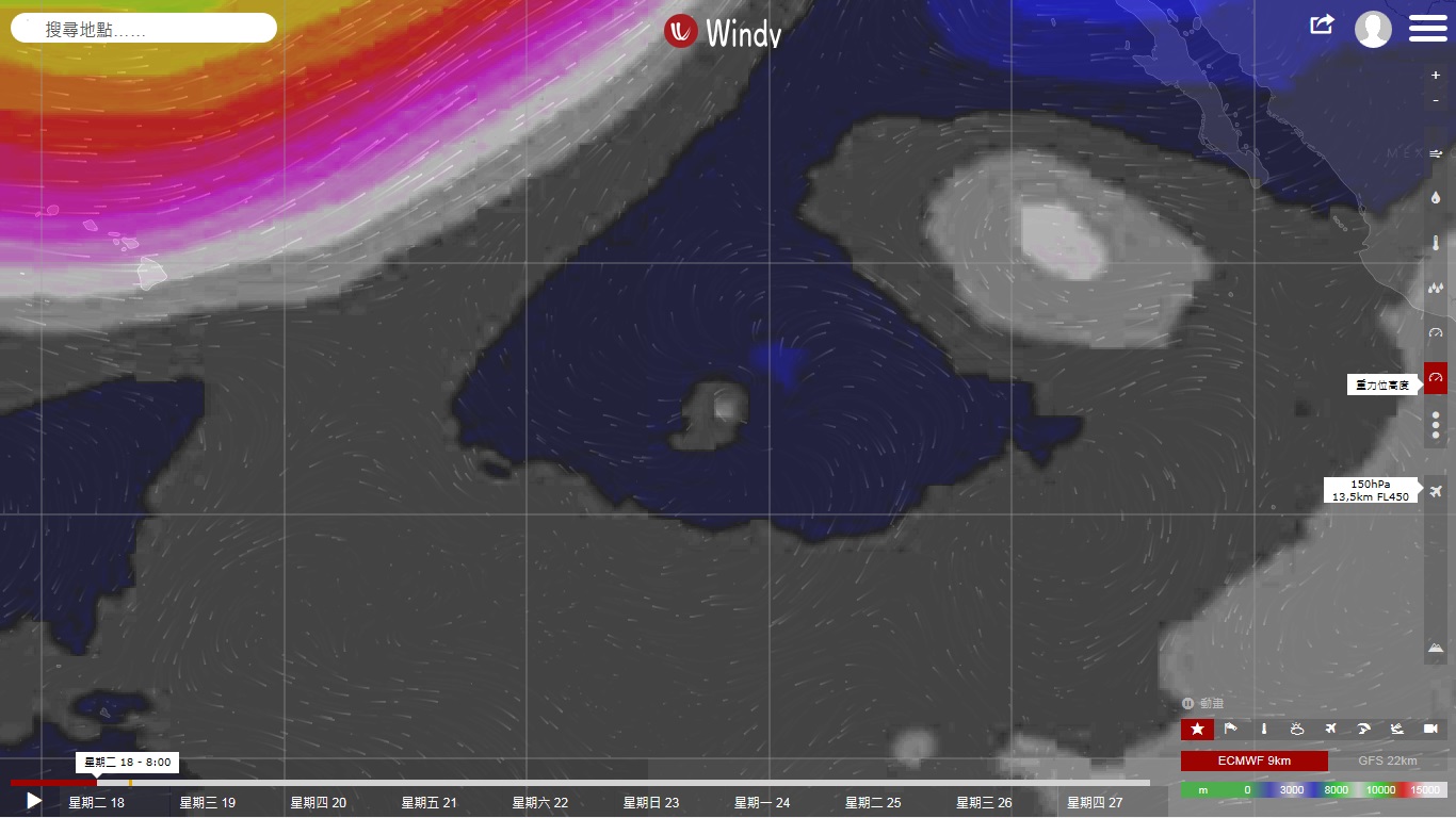
The initial motion for this package is 280/10 kt with steering
increasingly dictated by the low level flow. The main dynamical
aids show a fair amount of spread. The GFS, and to a lesser
degree HWRF, continue to hold on to a stronger and deeper system
which results in a more northwestward track. This doesn't appear
to be reasonable given the environmental circumstances. Thus, the
forecast track leans more toward the ECMWF solution and is close to
the previous forecast, keeping Fernanda on a general westward to
west-northwestward motion through the forecast period.
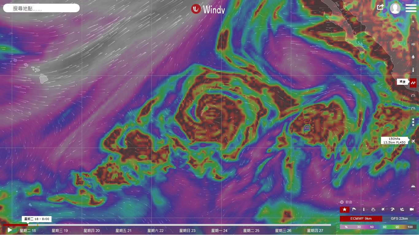
Fernanda is tracking over waters near 25C. Along the forecast track,
sea surface temperature are to remain in the 25C to 26C range. The
cyclone is also expected to stay within strong vertical shear
conditions of about 25 to 35 kt through the next 3 days.
Although some deep convection may occasionally flare up near
the center, the more likely outcome under these environmental
conditions is for Fernanda to continue to weaken and eventually
dissipate. This expectation is consistent with the SHIPS
guidance. The forecast calls for continued weakening with Fernanda
becoming a remnant low during the next 24 to 36 hours, then opening
up to a trough after 72 hours.
FORECAST POSITIONS AND MAX WINDS
INIT 21/0300Z 18.4N 141.4W 45 KT 50 MPH
12H 21/1200Z 18.8N 142.9W 35 KT 40 MPH
24H 22/0000Z 19.3N 144.8W 30 KT 35 MPH
36H 22/1200Z 19.9N 146.6W 25 KT 30 MPH...POST-TROP/REMNT LOW
48H 23/0000Z 20.5N 148.4W 25 KT 30 MPH...POST-TROP/REMNT LOW
72H 24/0000Z 21.8N 153.0W 25 KT 30 MPH...POST-TROP/REMNT LOW
96H 25/0000Z...DISSIPATED
$$
Forecaster Kodama |
|