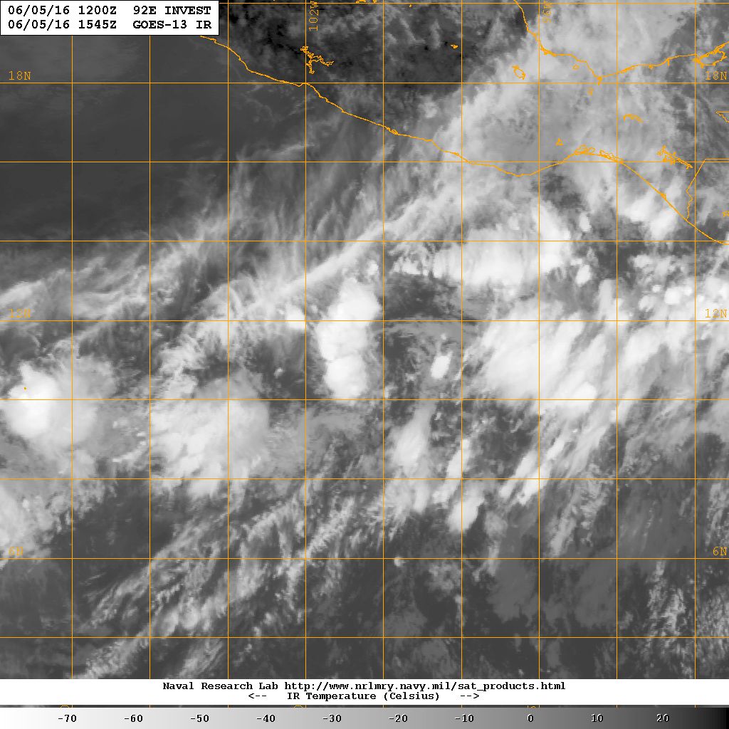
TROPICAL DEPRESSION ONE-E DISCUSSION NUMBER 1
NWS NATIONAL HURRICANE CENTER MIAMI FL EP012016
400 PM CDT MON JUN 06 2016
The compact area of low pressure near the coast of southern Mexico
has developed a well-defined center of circulation and sufficiently
organized deep convection to be classified a tropical depression,
the first one of the 2016 eastern North Pacific hurricane season.
The initial intensity estimate of 30 kt is based on a pair of
recent ASCAT passes and Dvorak classifications from TAFB and SAB.
The depression is a sheared tropical cyclone with much of the
associated deep convection located to the north of the low-level
center. Since the wind shear is expected to remain high, no
change in strength is predicted before the depression reaches the
coast on Tuesday.
The system is moving northeastward at about 6 kt on the east
side of a broad trough that extends southwestward from the Gulf of
Mexico. A continued northeastward motion at about the same forward
speed is expected, bringing the center near the coast in about 24
hours. However, since the vortex is strongly tilted, the mid-level
center of the system will likely move inland as early as tonight.
The main hazard from the depression is the potential for heavy
rainfall, which has already begun over portions of southern
Mexico. These rains could cause life-threatening flash floods and
mud slides, especially in areas of high terrain.
The Government of Mexico has issued a tropical storm watch for a
portion of southern Mexico.