簽到天數: 3280 天 [LV.Master]伴壇終老
|
 t02436|2018-8-30 23:45
|
顯示全部樓層
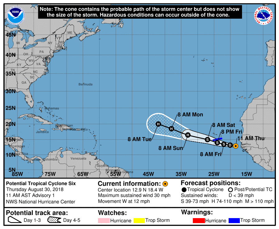
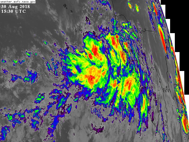
NHC升格潛在熱帶氣旋06L,暫時上望65節。
882
WTNT41 KNHC 301444
TCDAT1
Potential Tropical Cyclone Six Discussion Number 1
NWS National Hurricane Center Miami FL AL062018
1100 AM AST Thu Aug 30 2018
The area of low pressure that moved off the coast of Africa has
continued to become better organized, and is producing a large
area of disturbed weather with gusty winds, but currently lacks a
well-defined center. Environmental conditions are favorable for
additional development, and a tropical depression or a tropical
storm could form an any time today or Friday. Given the high
chances that this system could bring tropical storm conditions to a
portion of the southern Cabo Verde Islands, advisories have been
initiated on Potential Tropical Cyclone Six. Most of the intensity
guidance calls for strengthening and so does the NHC forecast.
The system is embedded within the easterly trades and this flow
pattern will steer the disturbance toward the west or west-
northwest during the next few days. By the end of the forecast
period, a turn toward the northwest should begin as the system
reaches a weakness in the subtropical high. This is consistent with
the output of the global models.
FORECAST POSITIONS AND MAX WINDS
INIT 30/1500Z 12.9N 18.4W 25 KT 30 MPH...POTENTIAL TROP CYCLONE
12H 31/0000Z 13.2N 20.1W 30 KT 35 MPH...TROPICAL DEPRESSION
24H 31/1200Z 13.5N 22.0W 35 KT 40 MPH
36H 01/0000Z 14.0N 24.0W 45 KT 50 MPH
48H 01/1200Z 15.0N 27.0W 55 KT 65 MPH
72H 02/1200Z 16.5N 33.0W 65 KT 75 MPH
96H 03/1200Z 18.5N 38.0W 65 KT 75 MPH
120H 04/1200Z 20.0N 42.0W 65 KT 75 MPH
$$
Forecaster Avila


|
|