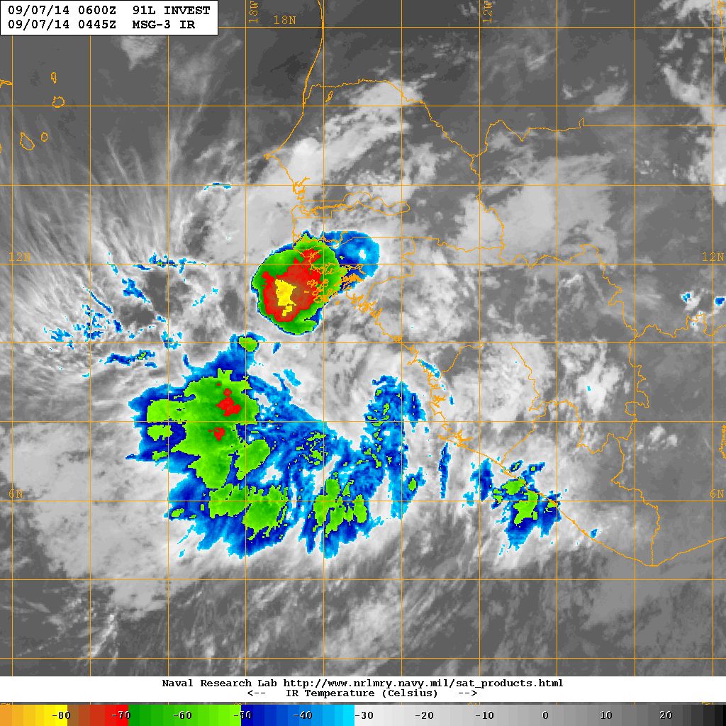
本帖最後由 t02436 於 2014-10-14 14:37 編輯 三級颶風 編號:06 L 名稱:Edouard 基本資料 擾動編號 ...
|
巔峰後就開始走下坡了,面對較涼的海水與較大的風切,無論風眼和對流都開始減弱。預測後期會回到和現在差不多緯度。 FORECAST POSITIONS AND MAX WINDS INIT 17/0300Z 33.5N 56.4W 80 KT 90 MPH 12H 17/1200Z 35.7N 54.2W 80 KT 90 MPH 24H 18/0000Z 38.4N 49.8W 75 KT 85 MPH 36H 18/1200Z 40.2N 44.6W 70 KT 80 MPH 48H 19/0000Z 40.5N 40.3W 60 KT 70 MPH 72H 20/0000Z 40.0N 37.0W 40 KT 45 MPH...POST-TROPICAL 96H 21/0000Z 38.5N 33.5W 30 KT 35 MPH...POST-TROPICAL 120H 22/0000Z 35.5N 31.5W 25 KT 30 MPH...POST-TROPICAL |
|
NHC 確認 Edouard 成為 Sandy 之後北大西洋首個 MH。 000 WTNT41 KNHC 161447 TCDAT1 HURRICANE EDOUARD DISCUSSION NUMBER 21 NWS NATIONAL HURRICANE CENTER MIAMI FL AL062014 1100 AM AST TUE SEP 16 2014 Visible satellite images show that Edouard has an impressive satellite presentation, displaying a well-defined eye within the central dense overcast. Edouard is upgraded to a major hurricane based on a subjective Dvorak intensity estimate of 102 kt from TAFB, an ADT estimate of 107 kt, and a recent SFMR surface wind of 97 kt in the southwest eyewall. Edouard is the first major hurricane of the 2014 Atlantic hurricane season, and the first category 3 or greater hurricane in the basin since Sandy on October 25, 2012. Edouard is expected to reach its peak intensity within the next 12-18 hours while it remains in light shear conditions and over warm waters. A combination of decreasing SSTs and increasing shear should cause the hurricane to start a steady weakening by late tomorrow. The intensity guidance is in good agreement, and the latest NHC forecast is close to the previous NHC prediction and the intensity consensus. Edouard is expected to become post-tropical by day 4, but this transition could even occur around day 3 due to rather cool waters in the cyclone's path. The initial motion is gradually shifting to the right, now 345/11. Edouard remains located to the west of the subtropical high and will turn northward and northeastward into the mid-latitude westerlies during the next 24-36 hours. An eastward acceleration is expected by 48 hours, and the cyclone is forecast to turn southeastward and slow down on days 4 and 5 when it approaches the west side of a deep-layer low between Portugal and the Azores. The interaction of the low and the tropical cyclone is causing the model guidance to become more divergent at long range, with the GFS and the GFDL models taking the cyclone well north of the Azores. However, the GFS ensemble is much farther southwest than the deterministic GFS, and is much more consistent with the previous forecast and the bulk of the guidance. Thus, I have elected to leave the NHC prediction virtually unchanged from the previous one, even though the model consensus is a fair distance to the northeast of the new official track at long range. FORECAST POSITIONS AND MAX WINDS INIT 16/1500Z 31.1N 57.8W 100 KT 115 MPH 12H 17/0000Z 33.0N 57.1W 100 KT 115 MPH 24H 17/1200Z 35.7N 54.6W 95 KT 110 MPH 36H 18/0000Z 38.4N 50.6W 85 KT 100 MPH 48H 18/1200Z 40.3N 45.7W 75 KT 85 MPH 72H 19/1200Z 41.0N 38.5W 55 KT 65 MPH 96H 20/1200Z 40.0N 35.0W 40 KT 45 MPH...POST-TROPICAL 120H 21/1200Z 38.0N 32.0W 30 KT 35 MPH...POST-TROPICAL $$ Forecaster Blake |
|
北大西洋今年的新風王,WMG 風眼還不錯,就是雲頂溫度不夠低。 相信之後還會稍微增強,等著看更漂亮的可見光照片,將成為兩年來北大西洋首個 MH。 FORECAST POSITIONS AND MAX WINDS INIT 16/0300Z 29.0N 56.9W 95 KT 110 MPH 12H 16/1200Z 30.5N 57.3W 100 KT 115 MPH 24H 17/0000Z 32.8N 56.6W 105 KT 120 MPH 36H 17/1200Z 35.5N 54.3W 95 KT 110 MPH 48H 18/0000Z 38.1N 50.4W 80 KT 90 MPH 72H 19/0000Z 40.9N 41.3W 60 KT 70 MPH 96H 20/0000Z 40.0N 36.0W 45 KT 50 MPH...POST-TROPICAL 120H 21/0000Z 38.6N 32.3W 35 KT 40 MPH...POST-TROPICAL |