|
|
 霧峰追風者|2017-9-13 23:38
|
顯示全部樓層
本帖最後由 霧峰追風者 於 2017-9-14 00:02 編輯
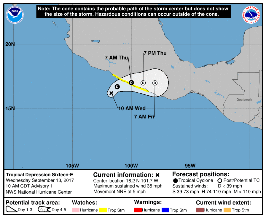
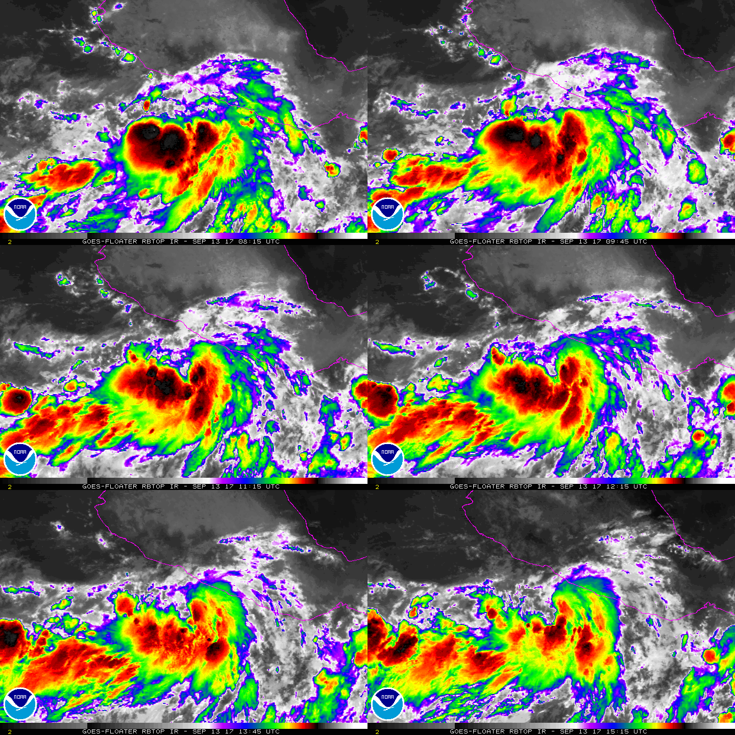
NHC 升格16E,即將登陸墨西哥,不看好命名。
000
WTPZ41 KNHC 131455
TCDEP1
Tropical Depression Sixteen-E Discussion Number 1
NWS National Hurricane Center Miami FL EP162017
1000 AM CDT Wed Sep 13 2017
Satellite images indicate that the area of disturbed weather near
the southwest coast of Mexico has developed a well-defined center
surrounded by bands of deep convection. T-numbers from both TAFB
and SAB are 2.0 on the Dvorak scale and on this basis, advisories
have been initiated on Tropical Depression Sixteen-E. A portion of
the circulation is already interacting with land, and no significant
strengthening is forecast before the center moves inland. Given
that the there is a possibility of tropical storm force winds mainly
in gusts, the government of Mexico has issued a tropical storm watch
for a portion of the coast.
The depression is located at the bottom of a large mid-latitude
trough, and this pattern will carry the depression slowly
northeastward toward the coast of Mexico, and then farther inland
where the cyclone is expected to become a remnant low.
Very heavy rains are the main threat from this tropical cyclone.
FORECAST POSITIONS AND MAX WINDS
INIT 13/1500Z 16.2N 101.7W 30 KT 35 MPH
12H 14/0000Z 16.7N 101.2W 30 KT 35 MPH
24H 14/1200Z 17.0N 100.0W 30 KT 35 MPH
36H 15/0000Z 17.0N 99.0W 25 KT 30 MPH...POST-TROP/INLAND
48H 15/1200Z 17.0N 98.0W 20 KT 25 MPH...POST-TROP/INLAND
$$
Forecaster Avila


|
|