Tropical Weather Outlook
NWS Central Pacific Hurricane Center Honolulu HI
200 AM HST Mon Jul 26 2021
For the central North Pacific...between 140W and 180W:
1. The National Hurricane Center in Miami, Florida, has been
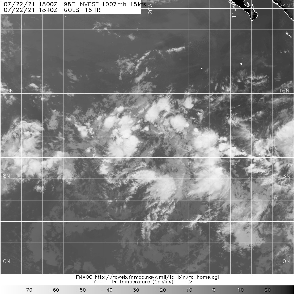
monitoring an elongated area of low pressure located more than 1000
miles east-southeast of Hilo, Hawaii, as it continues to move
westward at about 15 mph. The feature is producing disorganized
showers and thunderstorms. Environmental conditions are gradually
becoming less conducive for development of a tropical depression.
By Tuesday, conditions are expected to become unfavorable for any
further development. The Central Pacific Hurricane Center will be
issuing all further information on this system as it is now
entering the Central Pacific basin.
* Formation chance through 48 hours...medium...40 percent.
* Formation chance through 5 days...medium...40 percent.
Elsewhere, no tropical cyclones are expected during the next 5
days.
1. A low pressure system located about 1500 miles east-southeast of
the Hawaiian Islands continues to show signs of organization.
Environmental conditions are forecast to be conducive for further
development, and the system could become a tropical depression later
this weekend or early next week before reaching cooler waters while
moving westward at 10 to 15 mph.
* Formation chance through 48 hours...high...70 percent.
* Formation chance through 5 days...high...70 percent.
1. A broad area of low pressure located more than 1400 miles
west-southwest of the southern tip of the Baja California peninsula
is producing a concentrated area of showers and thunderstorms. This
activity has become a bit better organized, but the system currently
lacks a well-defined low-level circulation. Environmental
conditions are forecast to be conducive for further development,
and this system could become a tropical depression later this
weekend or early next week before reaching cooler waters while
moving westward at 10 to 15 mph.
* Formation chance through 48 hours...medium...50 percent.
* Formation chance through 5 days...medium...60 percent.