開啟輔助訪問
 找回密碼
 立即加入

04B.Helen 中心登陸逐漸減弱*

查看數: 18624 評論數: 11 收藏 0切换到帖子模式
    組圖打開中,請稍候......
發佈時間: 2013-11-18 06:41

正文摘要:

  強烈氣旋風暴 / 熱帶風暴      編號:BOB 06 (04B)    名稱:Helen   基本資料         擾動編號日期 :2013  年 ...

SHYUDOL 發表於 2013-11-22 06:45
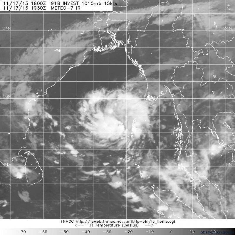
04B預估可能今天就會登陸了
而他真的是小小一隻 不過JTWC的風圈幾乎等於他整個雲系大小了

本帖子中包含更多資源

您需要 登錄 才可以下載或查看,沒有賬號?立即加入

x
妮妲 發表於 2013-11-20 17:31
幾乎不會在天氣圖上標示孟加拉灣的系統的CWB
這次先是在天氣圖上將04B標為TD
現在甚至把名字也標上了!!
(就我所知CWB過去對於孟加拉灣的氣旋不論強弱只標L
等壓線也不會照實際畫...)


本帖子中包含更多資源

您需要 登錄 才可以下載或查看,沒有賬號?立即加入

x

評分

參與人數 2水氣能量 +10 收起 理由
abcdefg60317 + 5 贊一個!
ben811018 + 5 是阿XD

查看全部評分

krichard2011 發表於 2013-11-20 14:17
本帖最後由 krichard2011 於 2013-11-20 14:23 編輯

正式升格Cyclonic Storm 命名Helen
上看Severe Cyclonic Storm
附上路徑圖


本帖子中包含更多資源

您需要 登錄 才可以下載或查看,沒有賬號?立即加入

x
toby 發表於 2013-11-20 13:04
正常颱風不是要到中颱或輕颱上限才會出現風眼,04B 還未升格,為甚麼風眼已隱現?
krichard2011 發表於 2013-11-20 12:27
這種形態居然還沒升CS
從底層掃瞄來看 底層風眼算是開了
高層風眼也正在清空當中
下午應該就有機會命名了
而且上看SCS


本帖子中包含更多資源

您需要 登錄 才可以下載或查看,沒有賬號?立即加入

x
SHYUDOL 發表於 2013-11-20 05:32
半夜IMD把它升個為DD(深低壓) 預估未來有機會增強回CS(氣旋風暴)
Time of issue: 2230 hours IST Dated: 19-11-2013
Bulletin No.: BOB06/2013/05
Sub: Deep Depression over westcentral Bay of Bengal
Pre-Cyclone Watch for south Andhra Pradesh and adjoining north Tamilnadu coasts
The depression over westcentral Bay of Bengal remained practically stationary, intensified into a deep depression and lay centred at 2030 hrs IST of today, the 19thth November 2013 near latitude 15.00N and longitude 85.00E, about 550 km east-northeast of Chennai, 430 km east-southeast of Machilipatnam and 350 km south-southeast of Vishakhapatnam. The system would further intensify into a cyclonic storm during next 24 hrs. It would move west-northwestwards for some time, then west-southwestward and cross south Andhra Pradesh and adjoining north Tamil Nadu coast between Chennai and Ongole, close to Kavali around night of 21stst November 2013.
Track and intensity forecasts of the system are given in the table below:
    Date/Time(IST)

Position
(Lat. 0N/ long. 0E)


Maximum sustained surface
wind speed (kmph)
    Category
   19-11-2013/2030
   15.0/85.0   55-65GUSTING TO 75
   DEEP DEPRESSION
   19-11-2013/2330
   15.2/84.8   55-65GUSTING TO 75   DEEP DEPRESSION
   20-11-2013/0530   15.4/84.5   60-70 GUSTING TO 80   CYCLONIC STORM
   20-11-2013/1130   15.4/84.0   70-80 GUSTING TO 90
   CYCLONIC STORM
   20-11-2013/1730
   15.4/83.5
   80-90 GUSTING TO 100   CYCLONIC STORM
   21-11-2013/0530
   15.2/82.5   80-90 GUSTING TO 100   CYCLONIC STORM
   21-11-2013/1730
   15.0/81.2   80-90 GUSTING TO 100   CYCLONIC STORM
    22-11-2013/0530   14.8/79.9
   60-70 GUSTING TO 80
   CYCLONIC STORM
   22-11-2013/1730
   14.5/78.5
   45-55 GUSTING TO 65   DEPRESSION


stavies 發表於 2013-11-19 23:24
本帖最後由 stavies 於 2013-11-19 23:24 編輯

CWB罕見給非管區的系統 給予熱帶性低氣壓的評價

本帖子中包含更多資源

您需要 登錄 才可以下載或查看,沒有賬號?立即加入

x

本平台僅供學術討論之用,預報應以氣象局為準

威普網站虛擬主機贊助公司

臺灣第一個天氣類型社群平台 即時天氣資訊、精準颱風動態

線上客服
FB傳送訊息
廣告行銷
精準行銷 物超所值
官方粉專
發佈 快速回復 返回頂部 返回列表