簽到天數: 2414 天 [LV.Master]伴壇終老
|
基本資料
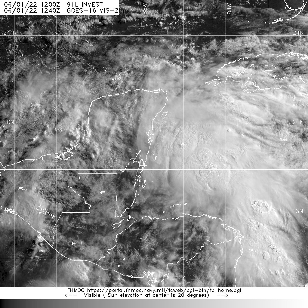
編號 :91 L
擾動編號日期:2022 年 06 月 01 日 02 時
撤編日期 :2022 年 06 月 00 日 00 時
91L.INVEST.25kts.1006mb.18.7N.87.4W

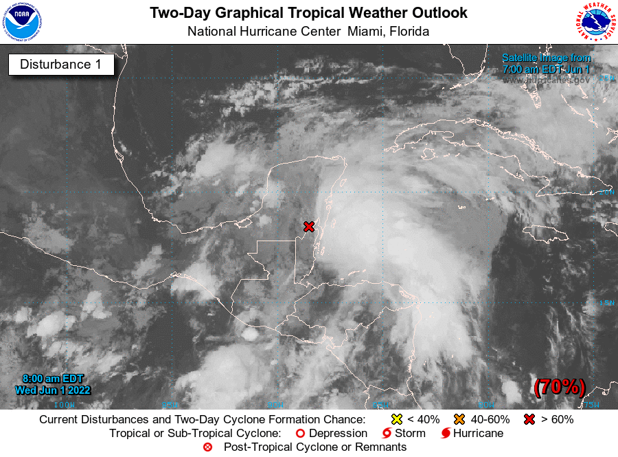
NHC:70%
1. Near the Yucatan Peninsula and Southeastern Gulf of Mexico:
A large area of disorganized showers and thunderstorms located
over the northwestern Caribbean Sea and Yucatan Peninsula is
associated with a broad area of low pressure. Environmental
conditions appear conducive for gradual development, and this
system is likely to become a tropical depression while it moves
northeastward over the northwestern Caribbean Sea and southeastern
Gulf of Mexico during the next couple of days. Regardless of
development, locally heavy rainfall is likely across portions of
southeastern Mexico, the Yucatan Peninsula, and Belize during the
next day or so, spreading across western Cuba, South Florida, and
the Florida Keys on Friday and Saturday. Interests in the Yucatan
Peninsula, western Cuba, the Florida Keys, and the Florida Peninsula
should monitor the progress of this system.
* Formation chance through 48 hours...high...70 percent.
* Formation chance through 5 days...high...80 percent.

|
評分
-
查看全部評分
|